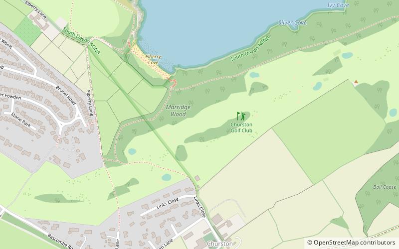
Churston Ferrers, Paignton
Map

Map

Facts and practical information
Churston Ferrers is an area and former civil parish, in the borough of Torbay, Devon, England, situated between the south coast towns of Paignton and Brixham. Today it is administered by local government as the Churston-with-Galmpton ward of the Torbay unitary authority. It contains the coastal village of Churston, the now larger village of Galmpton and the Broadsands area. ()
Coordinates: 50°24'3"N, 3°32'37"W
Day trips
Churston Ferrers – popular in the area (distance from the attraction)
Nearby attractions include: Churston Woods, Brixham Battery, Heritage Museum, Lupton.
Frequently Asked Questions (FAQ)
Which popular attractions are close to Churston Ferrers?
Nearby attractions include Broadsands, Paignton (17 min walk), Churston Woods, Brixham (18 min walk), Broadsands Chambered Tomb, Paignton (20 min walk), Churston Cove, Brixham (23 min walk).
How to get to Churston Ferrers by public transport?
The nearest stations to Churston Ferrers:
Train
Train
- Churston (18 min walk)


