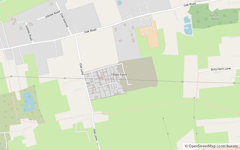
Dale Farm, Basildon
Map

Map

Facts and practical information
Dale Farm is a plot of land situated on Oak Lane in Crays Hill, Essex, United Kingdom. Until October 2011, it was the site of one of the largest Traveller concentrations in the UK, at its height housing over 1,000 people, along with the adjacent Oak Land site. Although Basildon District Council had granted permission for the site to be used by a small number of Traveller families, no planning permission was given for the expansion of the site into land located within the Green Belt. ()
Coordinates: 51°35'43"N, 0°28'27"E
Address
CrouchBasildon
ContactAdd
Social media
Add
Day trips
Dale Farm – popular in the area (distance from the attraction)
Nearby attractions include: Eastgate Shopping Centre, Northlands Park, The Cater Museum, Festival Leisure Park.
Frequently Asked Questions (FAQ)
How to get to Dale Farm by public transport?
The nearest stations to Dale Farm:
Bus
Bus
- Janus House • Lines: 31 (12 min walk)
- Old Road • Lines: 10, 12, 251 (13 min walk)


