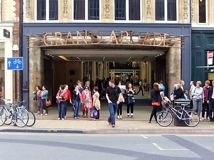
Regent Street, Cambridge
Map
Gallery
Facts and practical information
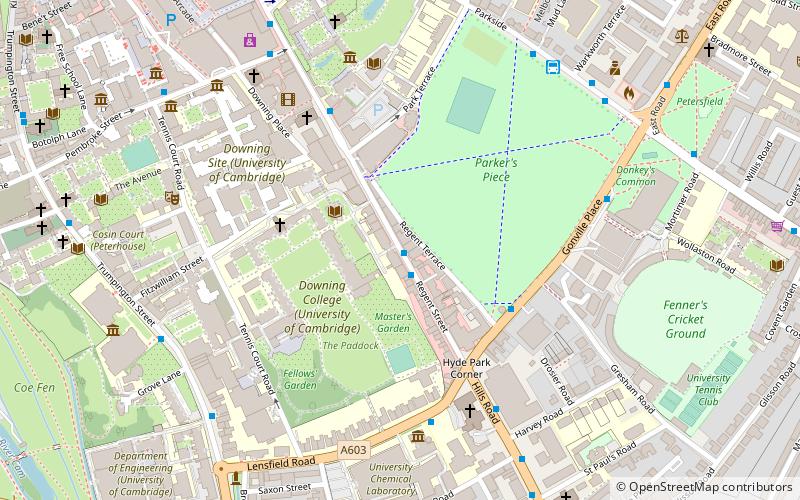
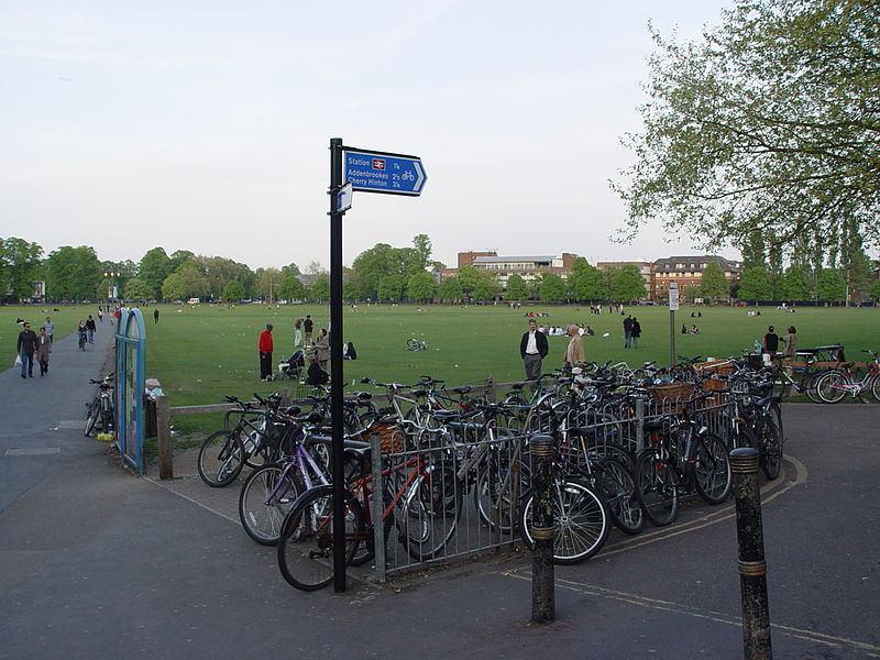
Regent Street is an arterial street in southeast central Cambridge, England. It runs between St Andrew's Street, at the junction with Park Terrace, to the northwest and Hills Road at the junction with the A603 to the southeast. Regent Terrace runs in parallel immediately to the northeast. Beyond that is Parker's Piece, a large grassed area with footpaths. ()
Coordinates: 52°12'3"N, 0°7'33"E
Address
MarketCambridge
ContactAdd
Social media
Add
Day trips
Regent Street – popular in the area (distance from the attraction)
Nearby attractions include: Fitzwilliam Museum, Parker's Piece, Grand Arcade, St Andrew's Street.
Frequently Asked Questions (FAQ)
Which popular attractions are close to Regent Street?
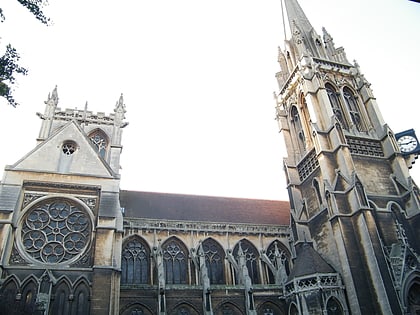
Nearby attractions include Downing College, Cambridge (3 min walk), Gonville Place, Cambridge (3 min walk), Our Lady and the English Martyrs Church, Cambridge (5 min walk), The Polar Museum, Cambridge (5 min walk).
How to get to Regent Street by public transport?
The nearest stations to Regent Street:
Bus
Train
Bus
- Downing College • Lines: 132, 31, 7, Citi 1, X13 (1 min walk)
- The Busway Church • Lines: A, B (4 min walk)
Train
- Cambridge (18 min walk)


