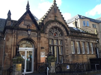
Barclay Viewforth Church, Edinburgh
Map
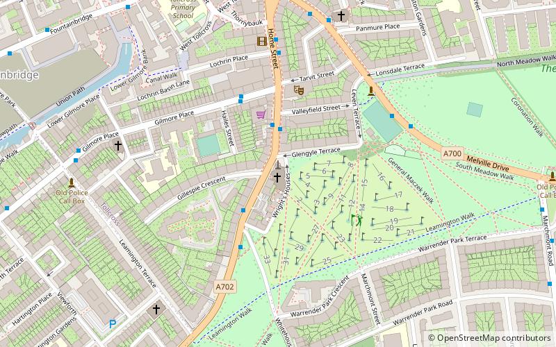
Map

Facts and practical information
Barclay Viewforth Church is a parish church of the Church of Scotland in the Presbytery of Edinburgh. ()
Coordinates: 55°56'26"N, 3°12'12"W
Day trips
Barclay Viewforth Church – popular in the area (distance from the attraction)
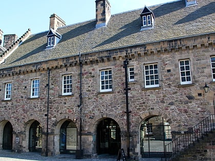
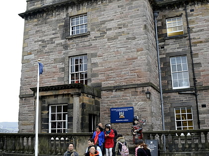
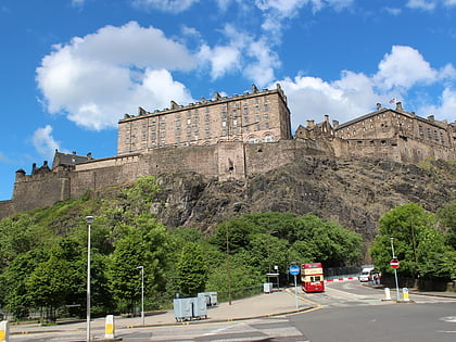
Nearby attractions include: National War Museum, Royal Scots Dragoon Guards Museum, Castle Rock, Scottish National War Memorial.
Frequently Asked Questions (FAQ)
Which popular attractions are close to Barclay Viewforth Church?
Nearby attractions include King's Theatre, Edinburgh (3 min walk), St Michael and All Saints, Edinburgh (6 min walk), Lauriston, Edinburgh (8 min walk), Leamington Lift Bridge, Edinburgh (8 min walk).
How to get to Barclay Viewforth Church by public transport?
The nearest stations to Barclay Viewforth Church:
Bus
Tram
Train
Bus
- Leven Street • Lines: 23 (2 min walk)
- Whitehouse Loan • Lines: 23 (3 min walk)
Tram
- West End • Lines: Edinburgh Trams Eastbound, Edinburgh Trams Westbound (17 min walk)
- Haymarket • Lines: Edinburgh Trams Eastbound, Edinburgh Trams Westbound (19 min walk)
Train
- Haymarket (18 min walk)
- Edinburgh Waverley (24 min walk)

