Youlgreave, Peak District
Map

Map

Facts and practical information
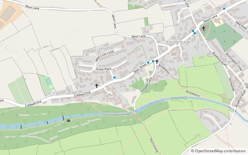
Youlgreave or Youlgrave listen is a village and civil parish in the Peak District of Derbyshire, England, on the River Bradford 2+1⁄2 miles south of Bakewell. The name possibly derives from "yellow grove", the ore mined locally being yellow in colour. The population in 1991 was 1,256; it is one of the largest villages in the Peak District National Park. ()
Address
Peak District
ContactAdd
Social media
Add
Day trips
Youlgreave – popular in the area (distance from the attraction)
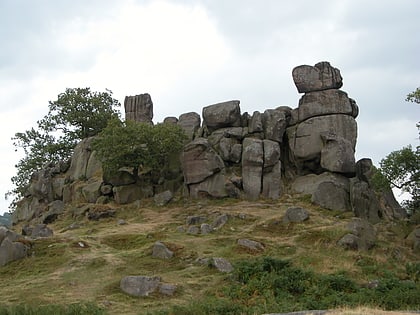
Nearby attractions include: All Saints' Church, Harthill Moor, Robin Hood's Stride, Conksbury.
Frequently Asked Questions (FAQ)
Which popular attractions are close to Youlgreave?
Nearby attractions include All Saints' Church, Peak District (7 min walk), Conksbury, Peak District (19 min walk).


