Lindhurst Wind Farm, Mansfield
Map
Facts and practical information
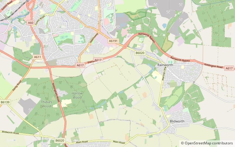
Lindhurst Wind Farm is a power-producing wind farm in Lindhurst parish near Mansfield, England. Built for Npower Renewables, it produces electricity from five wind turbines. It has a total nameplate capacity of 9 MW of electricity, providing enough power to serve the average needs of 5,400 homes. ()
Coordinates: 53°6'58"N, 1°8'48"W
Address
Mansfield
ContactAdd
Social media
Add
Getting there by public transportation
Public transportation stops near this location
- Bus
 Bus
Bus
- Calculate routeRedruth Drive 17 min walk
- Calculate routeBlidworth Lane 18 min walk
- Calculate routeRansom Business Park 18 min walk
- Calculate routeHemsley Road 19 min walk
Day trips


Frequently Asked Questions (FAQ)
How to get to Lindhurst Wind Farm by public transport?
The nearest stations to Lindhurst Wind Farm:
Bus
Bus
- Redruth Drive • Lines: 218 (17 min walk)
- Blidworth Lane • Lines: 141 (18 min walk)