Donegal Celtic Park, Belfast
Map
Facts and practical information
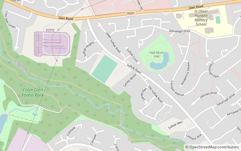
Donegal Celtic Park, also known as Suffolk Road and Celtic Park or more recently the New Suffolk Road after its recent expansion, is the home of amateur league team Donegal Celtic. It is situated in the Suffolk Road in west Belfast. The stadium holds 8,283, but is currently restricted to 2,330 under safety legislation. ()
Getting there by public transportation
Public transportation stops near this location
- Bus
 Bus
Bus
- Calculate routeColin Connect Transport Hub 26 min walk
Day trips


Frequently Asked Questions (FAQ)
How to get to Donegal Celtic Park by public transport?
The nearest stations to Donegal Celtic Park:
Bus
Bus
- Colin Connect Transport Hub (26 min walk)