Drumkeeragh Forest
Map

Map

Facts and practical information
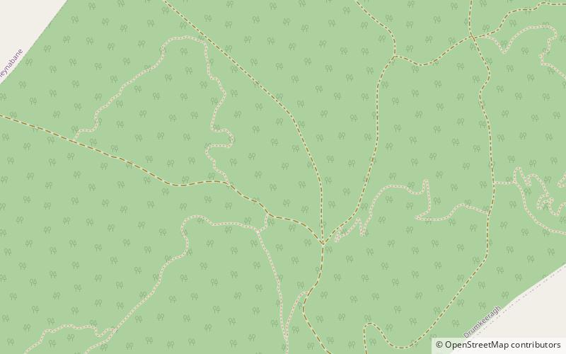
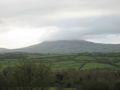
Drumkeeragh Forest is a mixed coniferous forest located on the lower slopes of Slieve Croob, near Ballynahinch, Northern Ireland. It is used for commercial felling and is managed by the Forest Service Northern Ireland. ()
Coordinates: 54°21'6"N, 5°56'45"W
Location
Northern Ireland
ContactAdd
Social media
Add
Day trips
Drumkeeragh Forest – popular in the area (distance from the attraction)
Nearby attractions include: Slieve Croob, Legananny Dolmen, Clough Castle, Bohill Forest.


