Lymington and Pennington, Lymington
Map

Gallery

Facts and practical information
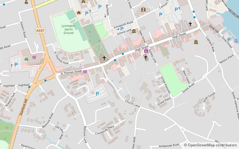
Lymington and Pennington is an administrative area formed in 1974 in the New Forest district of Hampshire, England. It covers the historical settlements of Pennington village and Lymington Town, as well as smaller hamlets, and newer residential areas. ()
Coordinates: 50°45'25"N, 1°32'38"W
Address
Lymington
ContactAdd
Social media
Add
Day trips
Lymington and Pennington – popular in the area (distance from the attraction)
Nearby attractions include: St Barbe Museum & Art Gallery, Buckland Rings, Lymington Sea Water Baths, Church of St Thomas the Apostle.
Frequently Asked Questions (FAQ)
Which popular attractions are close to Lymington and Pennington?
Nearby attractions include Church of St Thomas the Apostle, Lymington (2 min walk), St Barbe Museum & Art Gallery, Lymington (4 min walk), Quay Hill, Lymington (9 min walk), Lymington Sea Water Baths, Lymington (20 min walk).


