Neithrop, Banbury
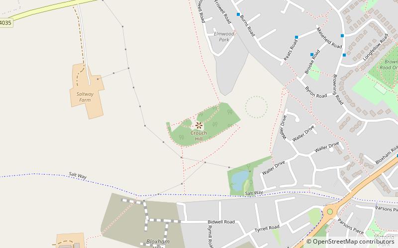
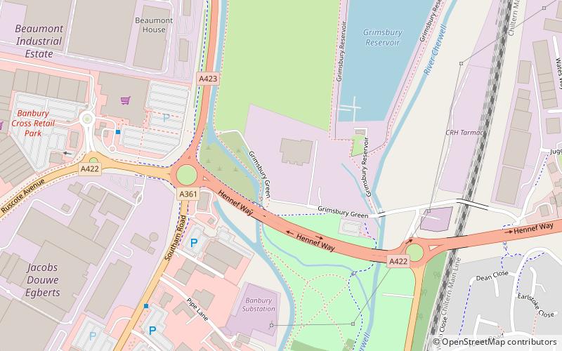
Map
Gallery
Facts and practical information
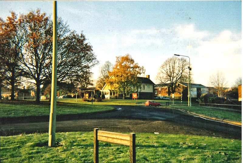
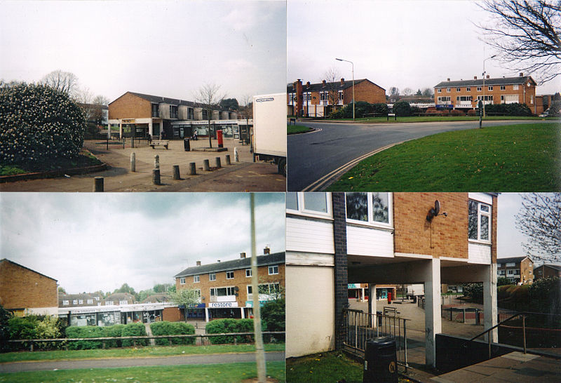
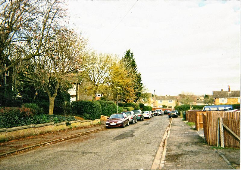
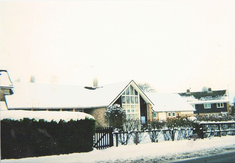
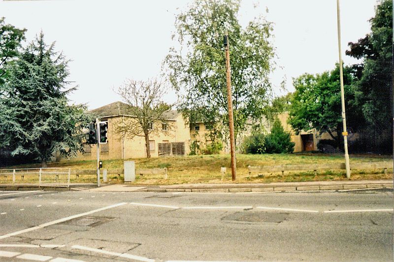
Neithrop is an inner housing estate and part of the greater 'Neithrop ward' of Banbury, Oxfordshire, England. It is one of the oldest areas in Banbury, having first been first recorded as a hamlet in the 13th century. Neithrop, Woodgreen and Bretch Hill are three interconnecting housing estates. ()
Coordinates: 52°3'45"N, 1°21'13"W
Address
Banbury
ContactAdd
Social media
Add
Day trips
Neithrop – popular in the area (distance from the attraction)
Nearby attractions include: Castle Quay Shopping Centre, Banbury Town Hall, Tooley's Boatyard, Banbury Cross.
Frequently Asked Questions (FAQ)
Which popular attractions are close to Neithrop?
Nearby attractions include Banbury Cross, Banbury (16 min walk), Banbury Town Hall, Banbury (22 min walk), Tooley's Boatyard, Banbury (23 min walk), Banbury Museum, Banbury (23 min walk).
How to get to Neithrop by public transport?
The nearest stations to Neithrop:
Bus
Train
Bus
- Banbury Bus Station (24 min walk)
- Banbury Bus Depot (25 min walk)
Train
- Banbury (29 min walk)


