Gibbet Hill, Beacon Hill
Map

Map

Facts and practical information
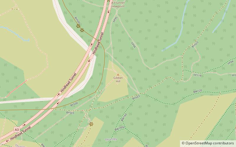
Gibbet Hill, at Hindhead, Surrey, is the apex of the scarp surrounding the Devil's Punch Bowl, not far from the A3 London to Portsmouth road in England. ()
Elevation: 892 ftCoordinates: 51°6'56"N, 0°42'57"W
Address
Beacon Hill
ContactAdd
Social media
Add
Day trips
Gibbet Hill – popular in the area (distance from the attraction)
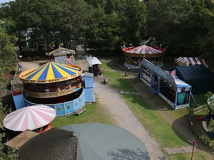
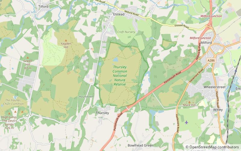
Nearby attractions include: Bourne Wood, Hollycombe Steam Collection, Ramster, Ludshott Common and Waggoners Wells.
Frequently Asked Questions (FAQ)
Which popular attractions are close to Gibbet Hill?
Nearby attractions include Devil's Punch Bowl, Hindhead (14 min walk), Hindhead Tunnel, Hindhead (20 min walk).
How to get to Gibbet Hill by public transport?
The nearest stations to Gibbet Hill:
Bus
Bus
- Tyndalls • Lines: 23 (19 min walk)
- Crossroads • Lines: 23 (21 min walk)


