Wheler Street Moravian Church, Manchester

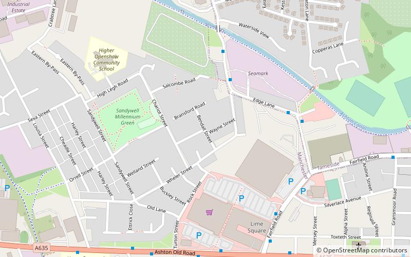
Map
Facts and practical information
Wheler Street Moravian Church was founded in 1899 through outreach work from the nearby Fairfield Moravian Settlement. The new church stood at Wheler Street in Higher Openshaw, Manchester, England. ()
Coordinates: 53°28'34"N, 2°9'58"W
Address
BradfordManchester
ContactAdd
Social media
Add
Day trips
Wheler Street Moravian Church – popular in the area (distance from the attraction)
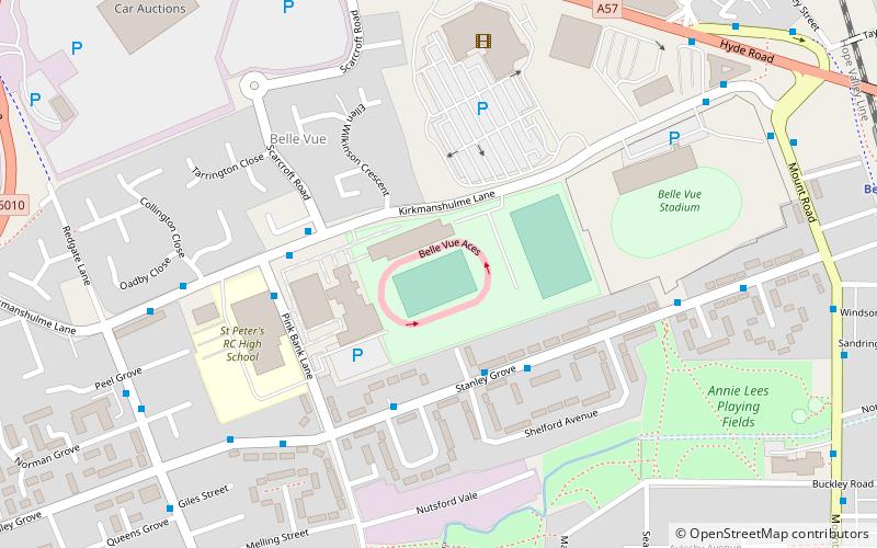
Nearby attractions include: Gorton Heritage Trail, Belle Vue Stadium, National Cycling Centre, Manchester Velodrome.
Frequently Asked Questions (FAQ)
Which popular attractions are close to Wheler Street Moravian Church?
Nearby attractions include Fairfield Moravian Church, Manchester (18 min walk), Clayton Hall, Manchester (20 min walk), Droylsden, Manchester (22 min walk), St Cross Church, Manchester (22 min walk).
How to get to Wheler Street Moravian Church by public transport?
The nearest stations to Wheler Street Moravian Church:
Bus
Tram
Train
Bus
- Higher Openshaw, Fairfield Road • Lines: 7, 7A, 7B (6 min walk)
- Higher Openshaw, Ashton Old Road / Morrisons • Lines: 171 (6 min walk)
Tram
- Edge Lane • Lines: Asht, Eccl, Mcuk (9 min walk)
- Cemetery Road • Lines: Asht, Eccl, Mcuk (14 min walk)
Train
- Gorton (13 min walk)
- Fairfield (24 min walk)
 Metrolink
 Metrolink / Rail


