Crewe Stadium, Crewe
Map
Facts and practical information
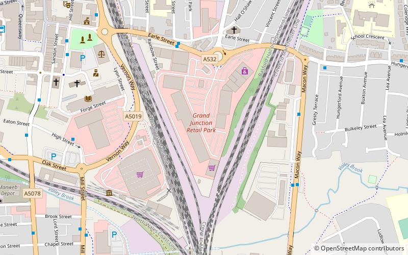
Crewe Stadium, also known as Earle Street, was a stadium in Crewe, Cheshire, England. Located north of Crewe railway station, it was used for speedway and stock car racing. The track was redeveloped in 1993 and is now the site of a retail park. ()
Coordinates: 53°5'45"N, 2°26'4"W
Address
Crewe
ContactAdd
Social media
Add
Getting there by public transportation
Public transportation stops near this location
- Bus
- Train
 Bus
Bus
- Calculate routeCrewe Bus Station 11 min walk
- Calculate routeCrewe 13 min walk
Day trips
Crewe Stadium – popular in the area (distance from the attraction)
Nearby attractions include: Crewe Heritage Centre, Gresty Road, Crewe Municipal Buildings, Crewe North Junction signal box.


Frequently Asked Questions (FAQ)
Which popular attractions are close to Crewe Stadium?
Nearby attractions include St Peter's Church, Crewe (5 min walk), Crewe Heritage Centre, Crewe (5 min walk), Crewe North Junction signal box, Crewe (6 min walk), Christ Church Tower, Crewe (7 min walk).
How to get to Crewe Stadium by public transport?
The nearest stations to Crewe Stadium:
Bus
Train
Bus
- Crewe Bus Station (11 min walk)
Train
- Crewe (13 min walk)