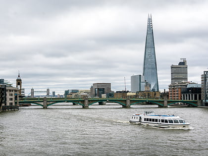
St Saviour's War Memorial, London
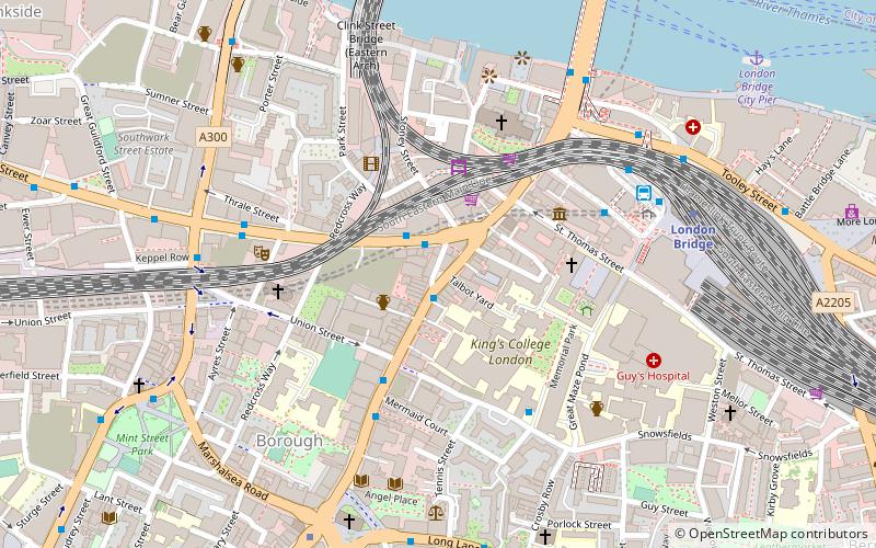
Map
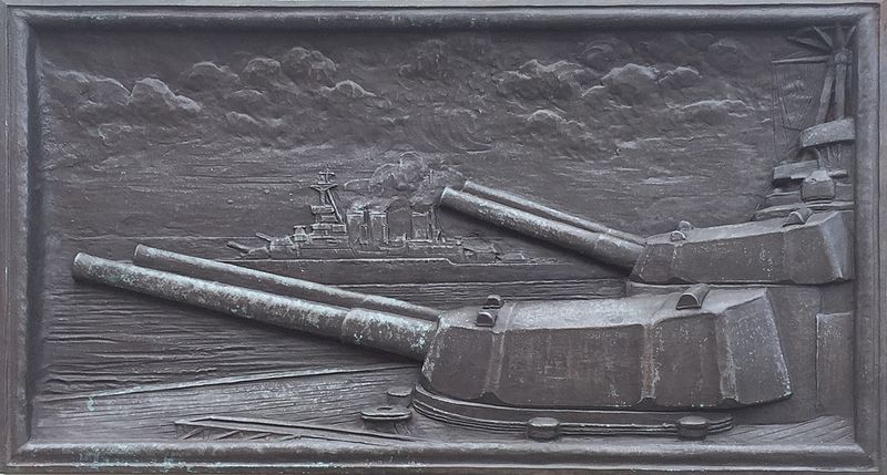
Gallery
Facts and practical information
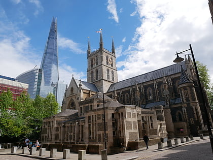
St Saviour's War Memorial is a war memorial on Borough High Street, in the former parish of Southwark St Saviour, to south of the River Thames in London. It became a Grade II listed building in 1998 and was upgraded to Grade II* in 2018. ()
Coordinates: 51°30'15"N, 0°5'27"W
Address
Southwark (Cathedrals)London
ContactAdd
Social media
Add
Day trips
St Saviour's War Memorial – popular in the area (distance from the attraction)
Nearby attractions include: Borough Market, Southwark Cathedral, London Bridge, Borough High Street.
Frequently Asked Questions (FAQ)
Which popular attractions are close to St Saviour's War Memorial?
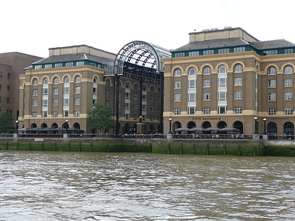
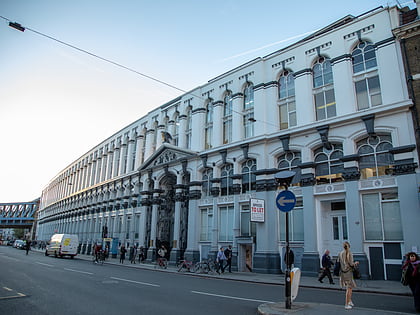
Nearby attractions include Hop Exchange, London (2 min walk), Borough Market, London (3 min walk), Cross Bones, London (3 min walk), Old Operating Theatre Museum and Herb Garret, London (3 min walk).
How to get to St Saviour's War Memorial by public transport?
The nearest stations to St Saviour's War Memorial:
Metro
Bus
Ferry
Train
Light rail
Metro
- London Bridge • Lines: Jubilee, Northern (5 min walk)
- Borough • Lines: Northern (7 min walk)
Bus
- London Bridge Bus Station (5 min walk)
- London Bridge Station • Lines: 343, 381, 388, 47, N199, N381 (5 min walk)
Ferry
- London Bridge City Pier • Lines: Rb1, Rb1X, Rb2, Rb6 (9 min walk)
- Bankside Pier • Lines: Green Tour, Rb1, Rb1X, Rb2 (11 min walk)
Train
- London Cannon Street (12 min walk)
- Bank (16 min walk)
Light rail
- Bank Platform 9 • Lines: B-L, B-Wa (14 min walk)
- Tower Gateway Platform 1 • Lines: Tg-B (22 min walk)

 Tube
Tube
