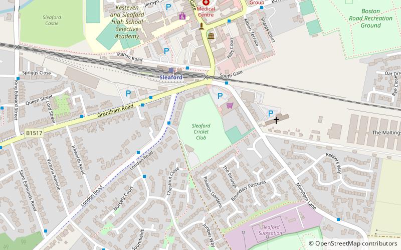
London Road, Sleaford
Map
Facts and practical information
London Road is a cricket club in Sleaford, Lincolnshire. It is the home of Sleaford Cricket Club and an occasional venue for Lincolnshire County Cricket Club. ()
Coordinates: 52°59'39"N, 0°24'32"W
Getting there by public transportation
Public transportation stops near this location
- Train
 Train
Train
- Calculate routeSleaford 3 min walk
Day trips


Frequently Asked Questions (FAQ)
Which popular attractions are close to London Road?
Nearby attractions include The Hub, Sleaford (9 min walk), Navigation House, Sleaford (9 min walk), Sleaford Castle, Sleaford (9 min walk), St Denys' Church, Sleaford (10 min walk).
How to get to London Road by public transport?
The nearest stations to London Road:
Train
Train
- Sleaford (3 min walk)