Cairnie Hill
Map

Gallery

Facts and practical information
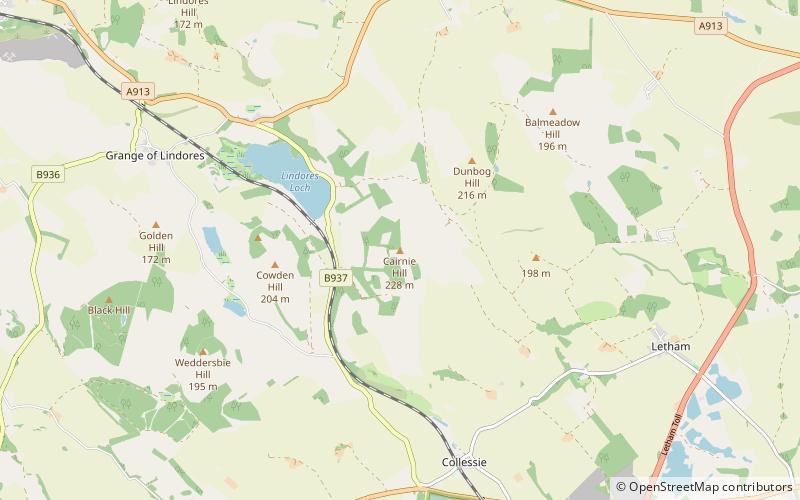
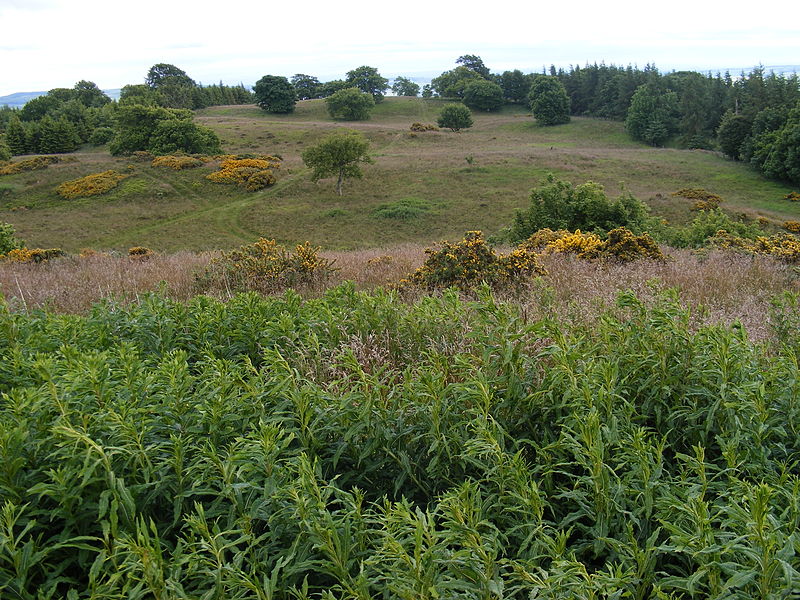
Cairnie Hill lies at the eastern end of the Ochil Hills, above the village of Collessie Scotland. It is the highest point of a small upland area between Collesie Den and Collairnie Farm. The northern and western slopes of Cairnie Hill are quite steep and are used for rough grazing and forestry. To the south the land rises gradually from the flat Howe of Fife and is used predominantly for arable farming. ()
Elevation: 748 ftProminence: 492 ftCoordinates: 56°19'35"N, 3°10'1"W
Location
Scotland
ContactAdd
Social media
Add
Day trips
Cairnie Hill – popular in the area (distance from the attraction)
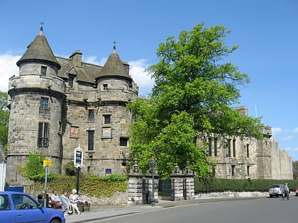
Nearby attractions include: Falkland Palace, Mount Hill, Birnie Loch, Norman's Law.


