Danes Graves
Map

Map

Facts and practical information
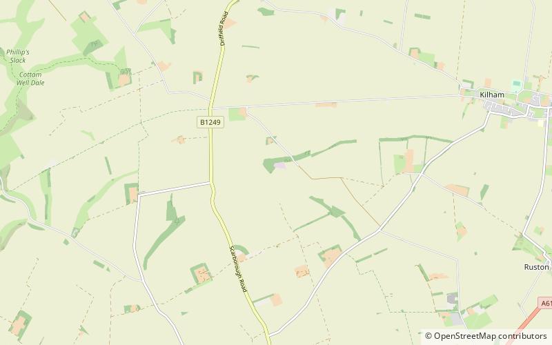
Danes Graves is an archaeological site in the East Riding of Yorkshire. It forms part of the Arras Culture of inhumation and chariot burial prevalent in the region during the British Iron Age. It is a prehistoric cemetery site situated in Danesdale – a dry river valley with gravel and chalk deposits. The site is north of Driffield near the village of Kilham. ()
Coordinates: 54°3'17"N, 0°26'40"W
Location
England
ContactAdd
Social media
Add
Day trips
Danes Graves – popular in the area (distance from the attraction)
Nearby attractions include: Burton Agnes Hall, Sledmere House, Rudston Monolith, Driffield Castle.


