Alnwick District, Alnwick
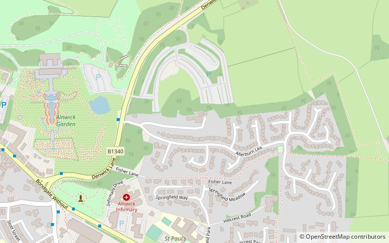
Map
Facts and practical information
Alnwick was a local government district of Northumberland, England. Its council was based in Alnwick town and the district had a population of 31,029 according to the 2001 census. ()
Getting there by public transportation
Public transportation stops near this location
- Bus
- Train
 Bus
Bus
- Calculate routeAlnwick Bus Station 15 min walk
- Calculate routeLionheart 20 min walk
Day trips


Frequently Asked Questions (FAQ)
Which popular attractions are close to Alnwick District?
Nearby attractions include The Alnwick Garden, Alnwick (6 min walk), Tenantry Column, Alnwick (7 min walk), Alnwick Playhouse, Alnwick (9 min walk), Alnwick town walls, Alnwick (9 min walk).
How to get to Alnwick District by public transport?
The nearest stations to Alnwick District:
Bus
Train
Bus
- Alnwick Bus Station (15 min walk)
Train
- Lionheart (20 min walk)