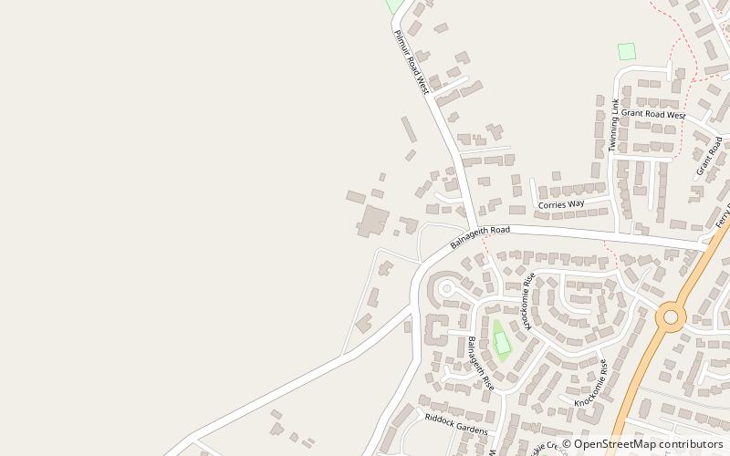
Balnageith, Forres

Map
Facts and practical information
Balnageith, located on the western edge of the suburbs of Forres in Moray, Scotland, is the site of an excavated linear cropmark with a rounded corner that has been interpreted as a possible Roman military camp or fort. The enclosure may originally have been of up to 2.4 hectares in size. ()
Coordinates: 57°35'56"N, 3°38'1"W
Address
Forres
ContactAdd
Social media
Add
Day trips
Balnageith – popular in the area (distance from the attraction)
Nearby attractions include: Moray Coast Trail, Falconer Museum, Dallas Dhu distillery museum, Cluny Hill.


