Chanonry Point, Fortrose and Rosemarkie

Gallery (1)
Map
Map
Facts and practical information
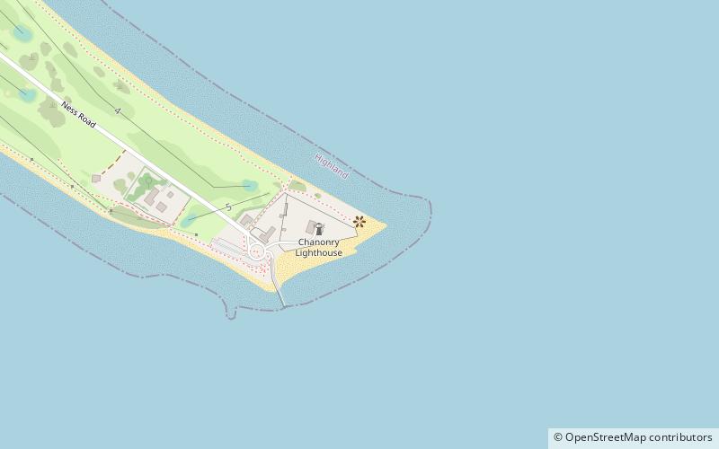
Chanonry Point lies at the end of Chanonry Ness, a spit of land extending into the Moray Firth between Fortrose and Rosemarkie on the Black Isle, Scotland. ()
Coordinates: 57°34'27"N, 4°5'30"W
Address
End of Ness Rd, Fortrose IV10 8SDFortrose and Rosemarkie
ContactAdd
Social media
Add
Day trips


