St Peter's Church, Leicester
Map

Map

Facts and practical information
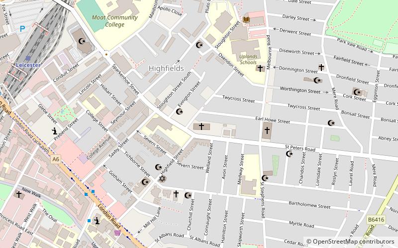
St Peter's Church, Leicester, is a Grade II listed parish church in the Church of England in the Highfields area of Leicester, Leicestershire. ()
Completed: 1879 (147 years ago)Coordinates: 52°37'48"N, 1°6'60"W
Address
St Peters RdLeicester South (Spinney Hill)Leicester LE2 1DA
Contact
+44 116 255 3095
Social media
Add
Day trips
St Peter's Church – popular in the area (distance from the attraction)
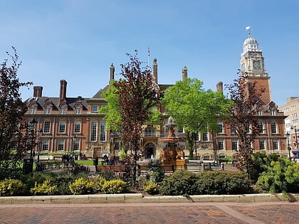
Nearby attractions include: Haymarket Shopping Centre, Leicester Market, Leicester Town Hall, Victoria Park.
Frequently Asked Questions (FAQ)
When is St Peter's Church open?
St Peter's Church is open:
- Monday 10 am - 1 pm
- Tuesday 9:30 am - 1 pm
- Wednesday 10 am - 2 pm
- Thursday 10 am - 1 pm
- Friday 10 am - 1 pm
- Saturday closed
- Sunday 11 am - 1 pm
Which popular attractions are close to St Peter's Church?
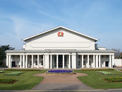
Nearby attractions include Highfields, Leicester (3 min walk), St James the Greater, Leicester (11 min walk), De Montfort Hall, Leicester (11 min walk), Arch of Remembrance, Leicester (13 min walk).
How to get to St Peter's Church by public transport?
The nearest stations to St Peter's Church:
Train
Bus
Train
- Leicester (9 min walk)
Bus
- Haymarket Bus Station (22 min walk)
- Leicester, St Margaret's Bus Station • Lines: 308 (25 min walk)


