Iron Tram Bridge, Aberdare
Map
Facts and practical information
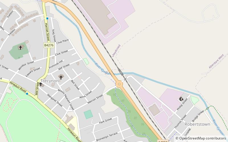
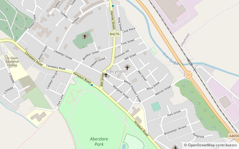
The Iron Tram Bridge, Robertstown is an early example of a "railway" bridge. It crosses the River Cynon between Trecynon and Robertstown. It carried the Llwydcoed Tramroad which ran from Hirwaun to the canal head at Cwmbach, south east of Aberdare. It was built by the Aberdare Canal & Navigation Company in 1811, and probably designed by George Overton. ()
Built: 1811 (215 years ago)Coordinates: 51°43'21"N, 3°27'10"W
Address
Aberdare
ContactAdd
Social media
Add
Getting there by public transportation
Public transportation stops near this location
- Bus
- Train
 Bus
Bus
- Calculate routeAberdare 19 min walk
- Calculate routeAberdare Bus Station 21 min walk
Day trips


Frequently Asked Questions (FAQ)
Which popular attractions are close to Iron Tram Bridge?
Nearby attractions include Hen-Dy-Cwrdd, Aberdare (5 min walk), Heolyfelin, Aberdare (5 min walk), Coliseum Theatre, Aberdare (5 min walk), Ebenezer, Aberdare (6 min walk).
How to get to Iron Tram Bridge by public transport?
The nearest stations to Iron Tram Bridge:
Train
Bus
Train
- Aberdare (19 min walk)
Bus
- Aberdare Bus Station (21 min walk)