Glapthorn Cow Pasture, Long Lane Pasture
Map

Map

Facts and practical information
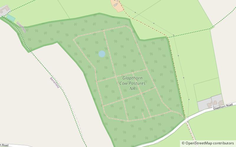
Glapthorn Cow Pasture is a 28.2 hectare biological Site of Special Scientific Interest north-west of Oundle in Northamptonshire. It is managed by the Wildlife Trust for Bedfordshire, Cambridgeshire and Northamptonshire. ()
Elevation: 272 ft a.s.l.Coordinates: 52°30'12"N, 0°31'26"W
Day trips
Glapthorn Cow Pasture – popular in the area (distance from the attraction)
Nearby attractions include: Nene Way, Kirby Hall, Fotheringhay Castle, Elton Hall.


