Sutton Methodist Church, Kingston upon Hull
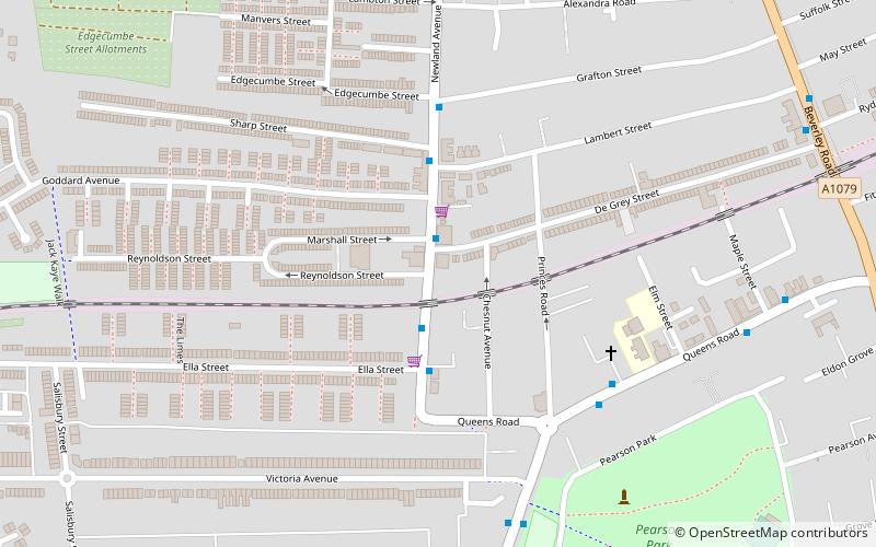
Map
Map

Facts and practical information
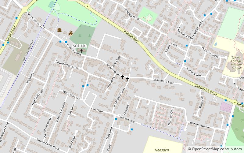
Sutton-on-Hull is a suburb of the city of Kingston upon Hull, in the ceremonial county of the East Riding of Yorkshire, England. It is located 3 miles north east of the city centre and has the B1237 road running through it which connects the A165 road with the A1033. ()
Coordinates: 53°46'47"N, 0°18'6"W
Address
East Kingston (Sutton)Kingston upon Hull
ContactAdd
Social media
Add
Day trips
Sutton Methodist Church – popular in the area (distance from the attraction)
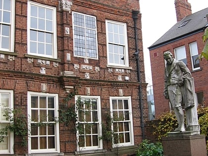
Nearby attractions include: Wilberforce House, Larkin's Bar, Hull City Hall, The New Adelphi Club.
Frequently Asked Questions (FAQ)
How to get to Sutton Methodist Church by public transport?
The nearest stations to Sutton Methodist Church:
Bus
Bus
- The Crooked Billet PH • Lines: 99 (27 min walk)
- Holderness Road Maybury Road • Lines: 99 (28 min walk)

