Port Erin Breakwater, Port Erin
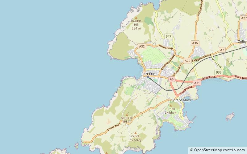
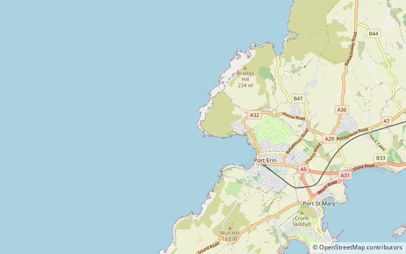
Map
Facts and practical information
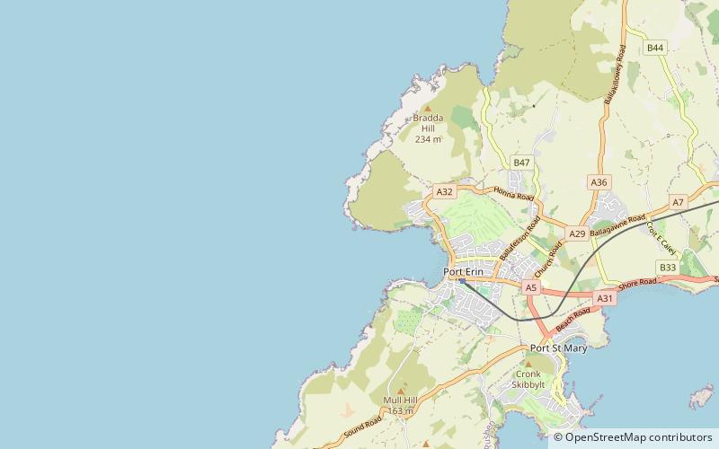
Port Erin Breakwater is a place located in Port Erin (Rushen ) and belongs to the category of ruins.
It is situated at an altitude of 3 feet, and its geographical coordinates are 54°5'6"N latitude and 4°46'14"W longitude.
Among other places and attractions worth visiting in the area are: Bradda Head (view point, 13 min walk), Isle of Man Railway Museum (museum, 14 min walk), Milner's Tower (observation decks and towers, 16 min walk).
Coordinates: 54°5'6"N, 4°46'14"W
Address
Port Erin
ContactAdd
Social media
Add
Day trips


Frequently Asked Questions (FAQ)
Which popular attractions are close to Port Erin Breakwater?
Nearby attractions include Bradda Head, Port Erin (13 min walk), Isle of Man Railway Museum, Port Erin (14 min walk), Milner's Tower, Port Erin (16 min walk).