Mayfield Playing Fields, Dundee
Map
Facts and practical information
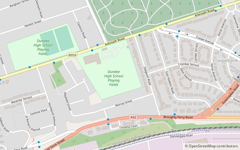
Mayfield Playing Fields, in Dundee, Scotland, is one of the sports grounds for the High School of Dundee and the home ground of rugby clubs Dundee High Rugby and its junior side, Dundee Eagles. It is situated 1.5 miles from the city centre, on Arbroath Road. ()
Coordinates: 56°28'13"N, 2°56'15"W
Address
Dundee
ContactAdd
Social media
Add
Day trips
Mayfield Playing Fields – popular in the area (distance from the attraction)
Nearby attractions include: V&A Dundee, Wellgate Centre, Tannadice Park, Baxter Park.
Frequently Asked Questions (FAQ)
Which popular attractions are close to Mayfield Playing Fields?
Nearby attractions include Craigiebank, Dundee (8 min walk), Baxter Park, Dundee (14 min walk), Dundee Museum of Transport, Dundee (14 min walk), Pitkerro, Dundee (21 min walk).
How to get to Mayfield Playing Fields by public transport?
The nearest stations to Mayfield Playing Fields:
Bus
Bus
- Dundee Seagate Bus Station (30 min walk)
- Seagate Bus Station • Lines: 16 (31 min walk)
