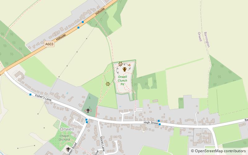
Orwell Clunch Pit

Gallery (1)
Map
Map
Facts and practical information
Orwell Clunch Pit is a 1.8 hectare biological Site of Special Scientific Interest on the northern outskirts of Orwell in Cambridgeshire. It is owned by Orwell Parish Council and managed by the Clunch Pit Management Trust. ()
Elevation: 177 ft a.s.l.Coordinates: 52°8'14"N, 0°0'30"W
Location
England
ContactAdd
Social media
Add
Day trips


