St Augustine's Church, Derby
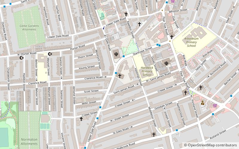
Map
Facts and practical information
St Augustine's Church, Derby is a Church of England parish church in Derby, Derbyshire. ()
Completed: 29 October 1910 (115 years ago)Coordinates: 52°54'22"N, 1°28'55"W
Getting there by public transportation
Public transportation stops near this location
- Bus
- Train
 Bus
Bus
- Calculate routeSikh Temple 1 min walk
- Calculate routeCrewe Street 4 min walk
- Calculate routeStanhope Street 4 min walk
- Calculate routeLower Dale Road 7 min walk
- Calculate routePeartree 19 min walk
- Calculate routeDerby 28 min walk
Day trips


Frequently Asked Questions (FAQ)
Which popular attractions are close to St Augustine's Church?
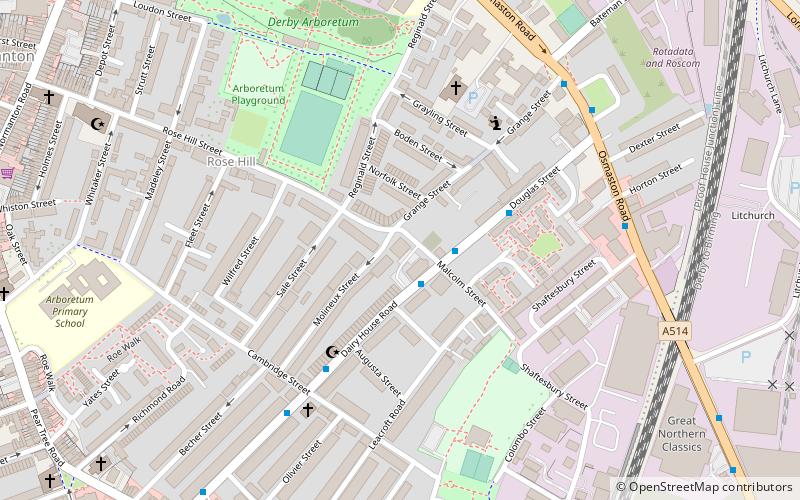
Nearby attractions include St Thomas' Church, Derby (7 min walk), Pear Tree, Derby (13 min walk), Derby Arboretum, Derby (14 min walk), St James Centre, Derby (14 min walk).
How to get to St Augustine's Church by public transport?
The nearest stations to St Augustine's Church:
Bus
Train
Bus
- Sikh Temple • Lines: 4, 7 (1 min walk)
- Crewe Street • Lines: 4, 7 (4 min walk)
Train
- Peartree (19 min walk)
- Derby (28 min walk)