Byker Viaduct, Newcastle upon Tyne
Map
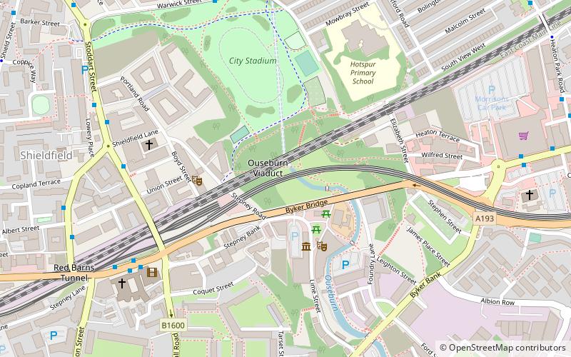
Map

Facts and practical information
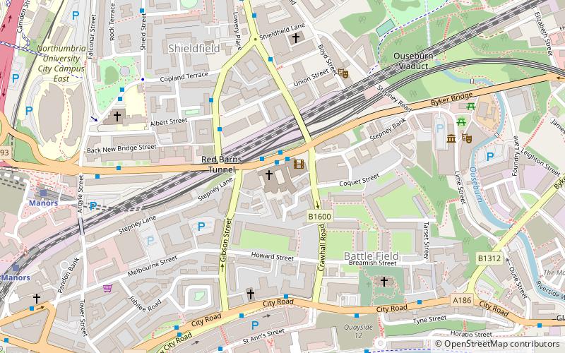
The Byker Viaduct is a 2,674 ft curved 'S' shaped light railway bridge, which carries the Tyne and Wear Metro over the River Ouseburn in Newcastle upon Tyne. It carries the line from Manors Metro station in the city centre to the west, to Byker Metro station in the area of Byker to the east, over the lower Ouseburn valley, with the river emptying into the north side of the River Tyne, to the south. ()
Coordinates: 54°58'34"N, 1°35'35"W
Address
OuseburnNewcastle upon Tyne
ContactAdd
Social media
Add
Day trips
Byker Viaduct – popular in the area (distance from the attraction)
Nearby attractions include: Baltic Centre for Contemporary Art, Gateshead Millennium Bridge, Sage Gateshead, Live Theatre.
Frequently Asked Questions (FAQ)
Which popular attractions are close to Byker Viaduct?
Nearby attractions include Byker Bridge, Newcastle upon Tyne (2 min walk), Ouseburn Viaduct, Newcastle upon Tyne (3 min walk), Seven Stories, Newcastle upon Tyne (3 min walk), Milecastle 3, Hadrian's Wall (5 min walk).
How to get to Byker Viaduct by public transport?
The nearest stations to Byker Viaduct:
Bus
Light rail
Train
Bus
- New Bridge Street-St Dominics-W/B • Lines: 62, 63 (6 min walk)
- Warwick Street • Lines: 1, 32 (6 min walk)
Light rail
- Manors • Lines: Yellow (13 min walk)
- Byker • Lines: Yellow (13 min walk)
Train
- Manors (15 min walk)
- Newcastle (28 min walk)


