Layerthorpe, York
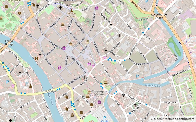
Map
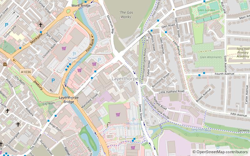
Map

Facts and practical information
Layerthorpe is a former village and latterly industrial district to the north-east of the centre of the city of York, North Yorkshire, England. It is just outside the city walls of York. The road through Layerthorpe from the bridge over the River Foss to Heworth is also called Layerthorpe. ()
Coordinates: 53°57'44"N, 1°4'13"W
Address
HeworthYork
ContactAdd
Social media
Add
Day trips
Layerthorpe – popular in the area (distance from the attraction)
Nearby attractions include: The Blue Bell, Treasurer's House, Centenary Way, St Crux Church.
Frequently Asked Questions (FAQ)
Which popular attractions are close to Layerthorpe?
Nearby attractions include Peasholme Green, York (6 min walk), St Cuthbert's Church, York (6 min walk), Quilt Museum and Gallery, York (7 min walk), Monkgate, York (7 min walk).
How to get to Layerthorpe by public transport?
The nearest stations to Layerthorpe:
Bus
Train
Bus
- James Street, adj Bus Depot • Lines: 8 (12 min walk)
- Merchantgate • Lines: 66 (12 min walk)
Train
- York (26 min walk)


