St Peter's Church

Gallery (1)
Map
Map
Facts and practical information
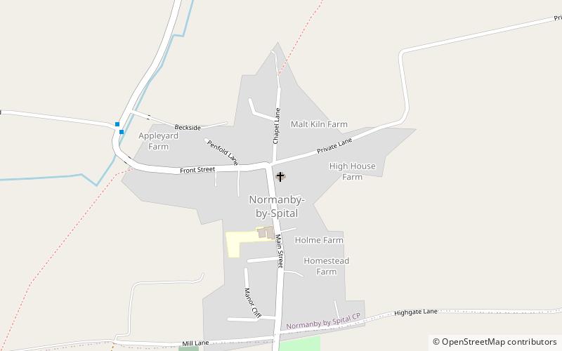
St Peter's Church is a redundant Anglican church in the village of Normanby by Spital, Lincolnshire, England. It is recorded in the National Heritage List for England as a designated Grade I listed building, and is under the care of the Churches Conservation Trust. The church stands close to the former Roman road, Ermine Street, now the A15 road. ()
Coordinates: 53°22'49"N, 0°29'47"W
Day trips


