Rodborough, Stroud
Map

Map

Facts and practical information
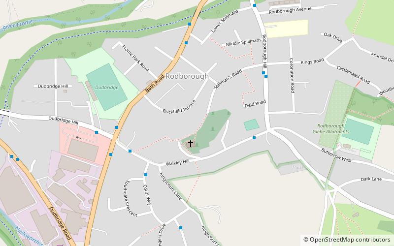
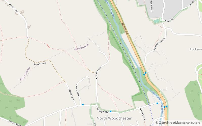
Rodborough is a civil parish in the district of Stroud, Gloucestershire, in South West England. It is directly south of the parish of Stroud, north of the town of Nailsworth and north-west of the village of Minchinhampton. The parish includes the settlements of Bagpath, Butterrow, Kingscourt, Lightpill and Rooksmoor, and is adjacent to the Stroud suburb of Dudbridge. The population taken at the 2011 census was 5,334. ()
Address
Stroud
ContactAdd
Social media
Add
Day trips
Rodborough – popular in the area (distance from the attraction)
Nearby attractions include: Church of All Saints, Subscription Rooms, All Saints Church, The Museum in the Park.
Frequently Asked Questions (FAQ)
Which popular attractions are close to Rodborough?
Nearby attractions include Frome Banks, Stroud (14 min walk), Five Valleys, Stroud (15 min walk), Subscription Rooms, Stroud (16 min walk), Lansdown Hall & Gallery, Stroud (19 min walk).
How to get to Rodborough by public transport?
The nearest stations to Rodborough:
Train
Train
- Stroud (14 min walk)


