Wallingford Bridge, Wallingford
Map

Map

Facts and practical information
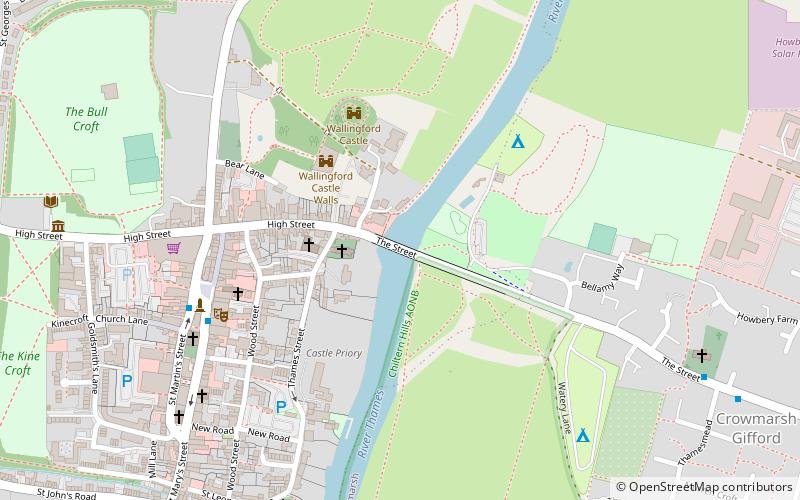
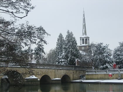
Wallingford Bridge is a medieval road bridge over the River Thames in England which connects Wallingford and Crowmarsh Gifford, Oxfordshire. It crosses the Thames on the reach between Cleeve Lock and Benson Lock. The bridge is 900 feet long and has 19 arches. It is a scheduled monument. Since the construction of the southern Wallingford bypass in 1993, most traffic crossing the Thames at the town uses Winterbrook Bridge. ()
Length: 900 ftHeight: 16 ftCoordinates: 51°36'3"N, 1°7'14"W
Address
Wallingford
ContactAdd
Social media
Add
Day trips
Wallingford Bridge – popular in the area (distance from the attraction)
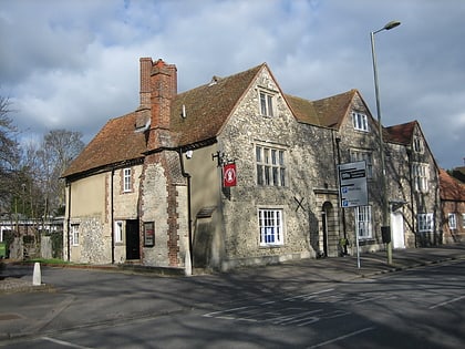
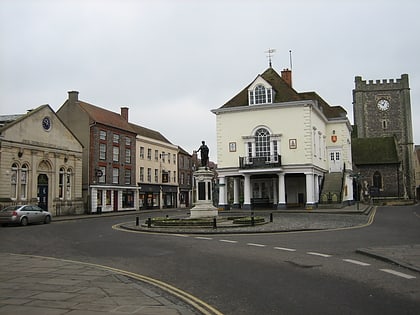
Nearby attractions include: Wallingford Museum, St Peter's Church, St Mary-le-More, St Mary's Church.
Frequently Asked Questions (FAQ)
Which popular attractions are close to Wallingford Bridge?
Nearby attractions include St Peter's Church, Wallingford (2 min walk), Corn Exchange Wallingford, Wallingford (5 min walk), Bridge Villa Camping and Caravan Park, Wallingford (5 min walk), St Mary-le-More, Wallingford (6 min walk).
How to get to Wallingford Bridge by public transport?
The nearest stations to Wallingford Bridge:
Bus
Train
Bus
- Market Place • Lines: 33 (5 min walk)
Train
- Wallingford (18 min walk)


