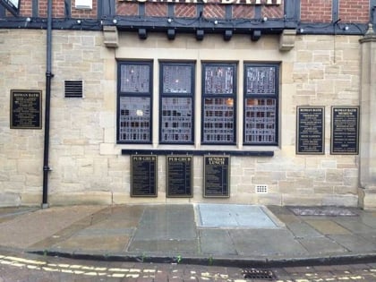
York Minster astronomical clock, York
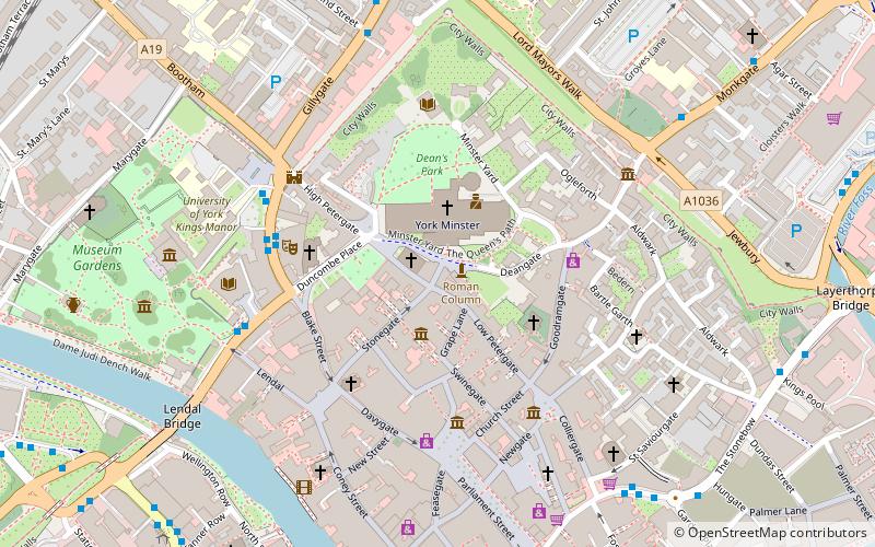
Map
Map

Facts and practical information
The York Minster astronomical clock is a memorial to the airmen operating from bases in Yorkshire, Durham, and Northumberland who were killed in action during World War II, designed by R. Atkinson, and installed in York Minster in 1955. ()
Coordinates: 53°57'42"N, 1°4'56"W
Day trips
York Minster astronomical clock – popular in the area (distance from the attraction)
Nearby attractions include: York Minster, York's Chocolate Story, Barley Hall, St Michael le Belfrey.
Frequently Asked Questions (FAQ)
Which popular attractions are close to York Minster astronomical clock?
Nearby attractions include York Minster, York (1 min walk), St Michael le Belfrey, York (1 min walk), Petergate, York (1 min walk), The Norman House, York (1 min walk).
How to get to York Minster astronomical clock by public transport?
The nearest stations to York Minster astronomical clock:
Bus
Train
Bus
- Museum Street • Lines: 2 (5 min walk)
- The Gillygate • Lines: 5 (6 min walk)
Train
- York (14 min walk)


