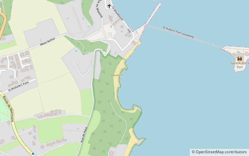
St Aubin's, Saint Helier
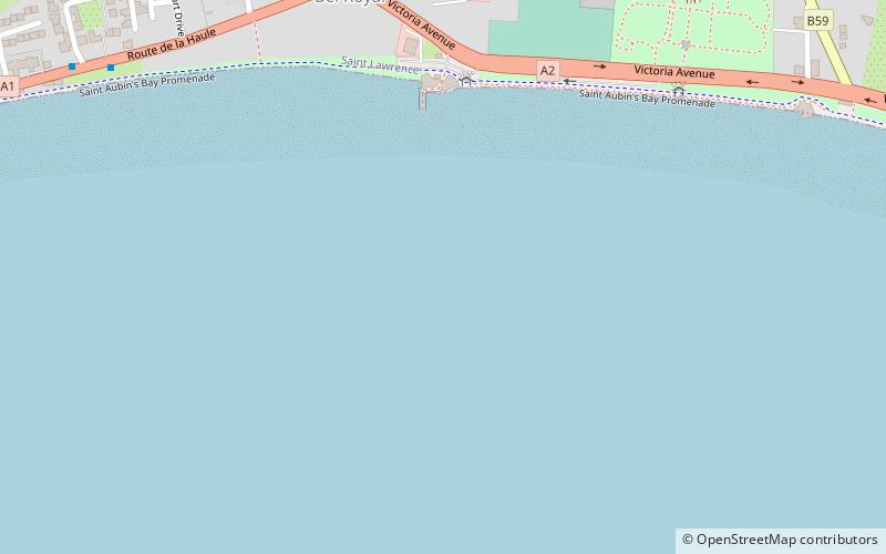
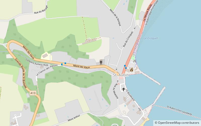
Map
Facts and practical information
St Aubin's is a place located in Saint Helier (Saint Lawrence parish) and belongs to the category of beach.
It is situated at an altitude of 0 feet, and its geographical coordinates are 49°11'39"N latitude and 2°8'44"W longitude.
Planning a visit to this place, one can easily and conveniently get there by public transportation. St Aubin's is a short distance from the following public transport stations: Parcq du Rivage (bus, 10 min walk).
Among other places and attractions worth visiting in the area are: St Matthew's Church (sacred and religious sites, 8 min walk), The Nigel Mansell Story (specialty museum, 24 min walk), Jersey War Tunnels (museum, 30 min walk).
Coordinates: 49°11'39"N, 2°8'44"W
Address
Saint Helier
ContactAdd
Social media
Add
Getting there by public transportation
Public transportation stops near this location
- Bus
 Bus
Bus
- Calculate routeParcq du Rivage 10 min walk
- Calculate routeCoronation Park E 11 min walk
- Calculate routeCoronation Park W 11 min walk
- Calculate routeMillbrook E 14 min walk
Day trips


Frequently Asked Questions (FAQ)
How to get to St Aubin's by public transport?
The nearest stations to St Aubin's:
Bus
Bus
- Parcq du Rivage • Lines: 12a, 15, 22, 9 (10 min walk)
- Coronation Park E • Lines: 15 (11 min walk)