Borough of Hartlepool, Hartlepool
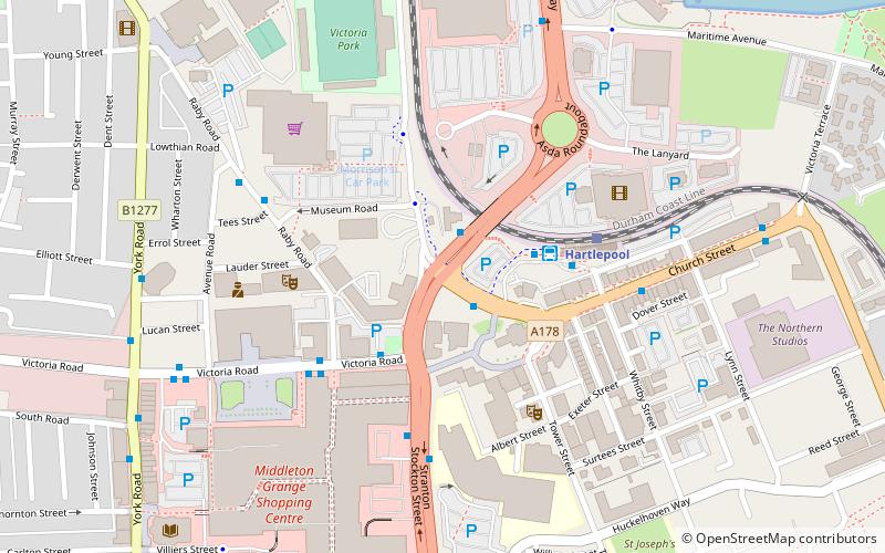
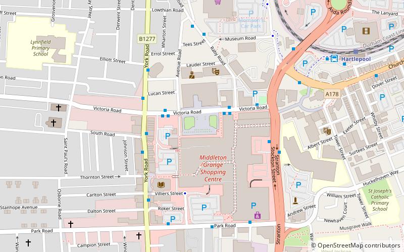
Map
Facts and practical information
The Borough of Hartlepool is a unitary authority area in ceremonial County Durham, England. The borough's largest town is Hartlepool. ()
Getting there by public transportation
Public transportation stops near this location
- Bus
- Train
 Bus
Bus
- Calculate routeHartlepool Interchange 2 min walk
- Calculate routeHartlepool Transport Interchange 3 min walk
- Calculate routeHartlepool Town Centre 5 min walk
- Calculate routePark Road 9 min walk
- Calculate routeHartlepool 4 min walk
Day trips
Borough of Hartlepool – popular in the area (distance from the attraction)
Nearby attractions include: Middleton Grange Shopping Centre, HMS Trincomalee, National Museum of the Royal Navy, PS Wingfield Castle.


Frequently Asked Questions (FAQ)
Which popular attractions are close to Borough of Hartlepool?
Nearby attractions include Hartlepool Art Gallery, Hartlepool (2 min walk), The Studio, Hartlepool (4 min walk), Hartlepool College of Further Education, Hartlepool (5 min walk), West Hartlepool War Memorial, Hartlepool (5 min walk).
How to get to Borough of Hartlepool by public transport?
The nearest stations to Borough of Hartlepool:
Bus
Train
Bus
- Hartlepool Interchange • Lines: 36, 426, 436 (2 min walk)
- Hartlepool Transport Interchange (3 min walk)
Train
- Hartlepool (4 min walk)