West Lomond
Map

Map

Facts and practical information
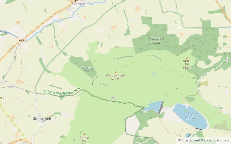
West Lomond is the highest point in the county of Fife, Scotland and the highest peak in the Lomond Hills. Its cone-shaped summit, which is the remains of a volcanic plug, rises above an escarpment of Carboniferous sandstone and limestone layers, capped with a quartz-microgabbro sill. The conspicuous peaks of West Lomond, and its neighbour East Lomond, are visible for many miles around, which explains one suggested origin of their name, the 'Lomond' or 'beacon' hills. On the summit are the remains of an Iron Age hill fort. ()
Elevation: 1713 ftProminence: 1329 ftCoordinates: 56°14'44"N, 3°17'49"W
Location
Scotland
ContactAdd
Social media
Add
Day trips
West Lomond – popular in the area (distance from the attraction)
Nearby attractions include: Falkland Palace, Kingdom Shopping Centre, Lochleven Castle, Bunnet Stane.


