St. Andrew's Church, Bournemouth
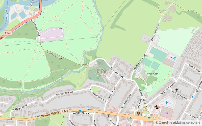
Map

Map

Facts and practical information
St. Andrew's Church is a Grade II* listed historic parish church in Kinson, Bournemouth, Dorset. The church dates from the 12th century. ()
Coordinates: 50°46'19"N, 1°54'18"W
Day trips
St. Andrew's Church – popular in the area (distance from the attraction)
Nearby attractions include: Adventure Wonderland, Plowman's Railroad, Little Theatre Club, Talbot Woods.
Frequently Asked Questions (FAQ)
How to get to St. Andrew's Church by public transport?
The nearest stations to St. Andrew's Church:
Bus
Bus
- Home Road • Lines: 14, 36, 5, 5a (5 min walk)
- Tonge Road • Lines: 11, 2, 32, 36 (5 min walk)


