Kylesku Bridge

Gallery (1)
Map
Map
Facts and practical information
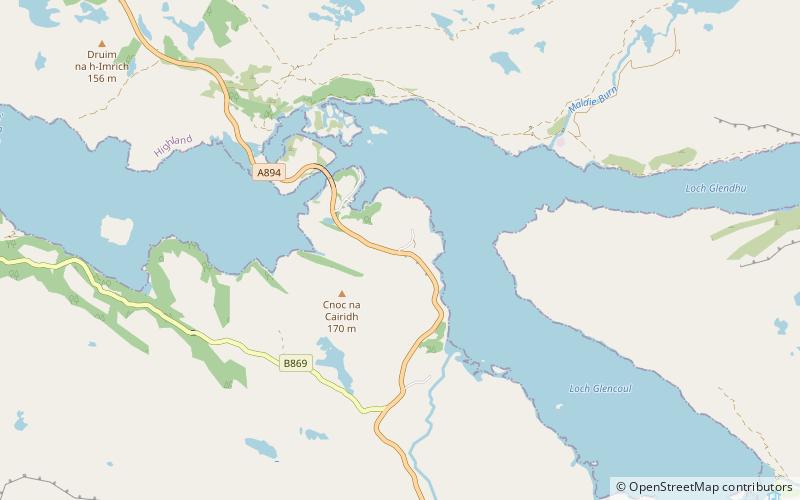
The Kylesku Bridge is a distinctively curved concrete box girder bridge in north-west Scotland that crosses the Loch a' Chàirn Bhàin in Sutherland. It is listed as category A, the highest grade. ()
Opened: 1984 (42 years ago)Length: 906 ftCoordinates: 58°15'1"N, 5°0'40"W
Day trips


