Horam Chapel, Heathfield

Gallery (1)
Map
Map
Facts and practical information
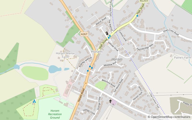
Horam Chapel (address: High St) is a place located in Heathfield (England kingdom) and belongs to the category of church.
It is situated at an altitude of 253 feet, and its geographical coordinates are 50°56'2"N latitude and 0°14'36"E longitude.
Among other places and attractions worth visiting in the area are: Horam (village, 7 min walk), Selwyns Wood, High Weald Area of Outstanding Natural Beauty (park, 58 min walk), Cuckoo Trail (hiking, 73 min walk).
Coordinates: 50°56'2"N, 0°14'36"E
Day trips


