Trek Zone

Miners Welfare Ground

#7656 among destinations in the United Kingdom

Sport venue, Sport
Miners Welfare Ground location map
Map

Facts and practical information
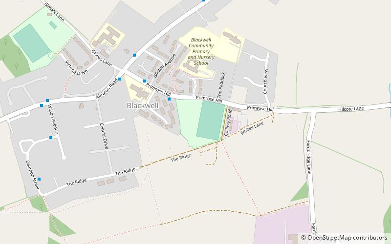
Coordinates: 53°7'10"N, 1°21'5"W
Location

EnglandUnited Kingdom

ContactAdd
Social media
Add
Day trips

Miners Welfare Ground – popular in the area (distance from the attraction)

Nearby attractions include: Hardwick Hall, East Midlands Designer Outlet, Christ Church, All Saints Church.

  • hardwick hall mansfield3.9 miNE
  • east midlands designer outlet south normanton1.8 miSE
  • christ church3.9 miS
  • all saints church3.6 miSW
  • st katherines church3.8 miNE
  • all saints church sutton in ashfield2.1 miE
  • alfreton antiques centre2.2 miSW
  • brierley forest park sutton in ashfield2.6 miE
  • silverhill3.4 miNE
  • st helens church3.4 miSE
  • st peters church1.5 miNW

Where to next? Visit england England region page or discover the top tourist attractions in United Kingdom.