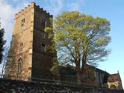
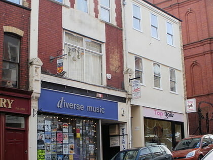
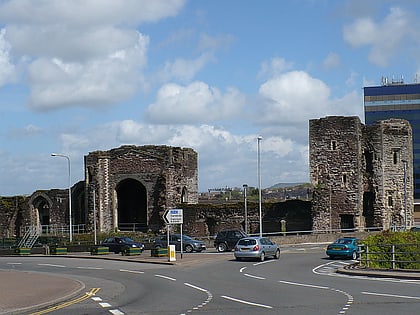
St Paul's Church, Newport
Map
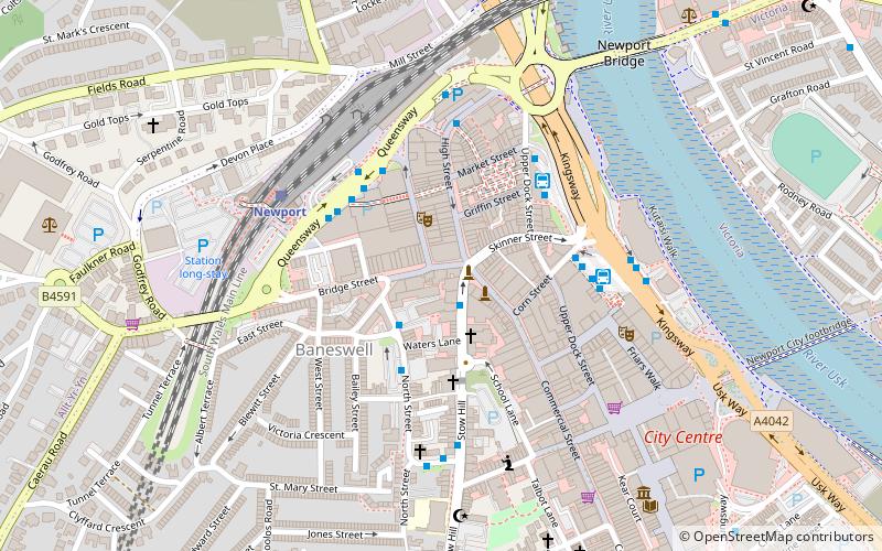
Map

Facts and practical information
St Paul's Church is a Grade II listed building in Commercial Street in the city centre of Newport, South Wales, built in Victorian gothic style in 1835–36. It was a parish church of the Church in Wales in the Diocese of Monmouth until 2016, when the congregation moved leaving the building vacant. It was sold in 2018. ()
Coordinates: 51°35'16"N, 2°59'50"W
Day trips
St Paul's Church – popular in the area (distance from the attraction)
Nearby attractions include: High Street, Friars Walk, Rodney Parade, Kingsway Shopping Centre.
Frequently Asked Questions (FAQ)
Which popular attractions are close to St Paul's Church?
Nearby attractions include Newport Market, Newport (3 min walk), Ye Olde Murenger House, Newport (3 min walk), Baneswell, Newport (3 min walk), Newport Ship, Newport (5 min walk).
How to get to St Paul's Church by public transport?
The nearest stations to St Paul's Church:
Bus
Train
Bus
- Newport Market Square Bus Station (4 min walk)
- 22 • Lines: 50 (4 min walk)
Train
- Newport (4 min walk)


