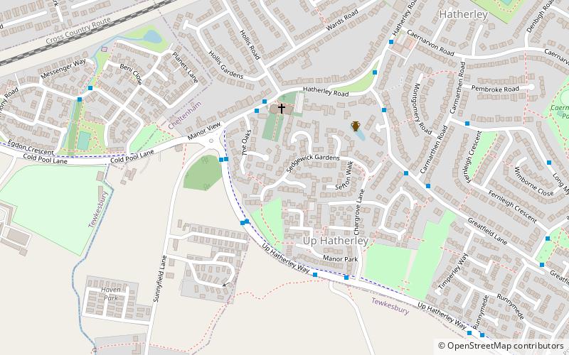
Up Hatherley, Cheltenham

Gallery (1)
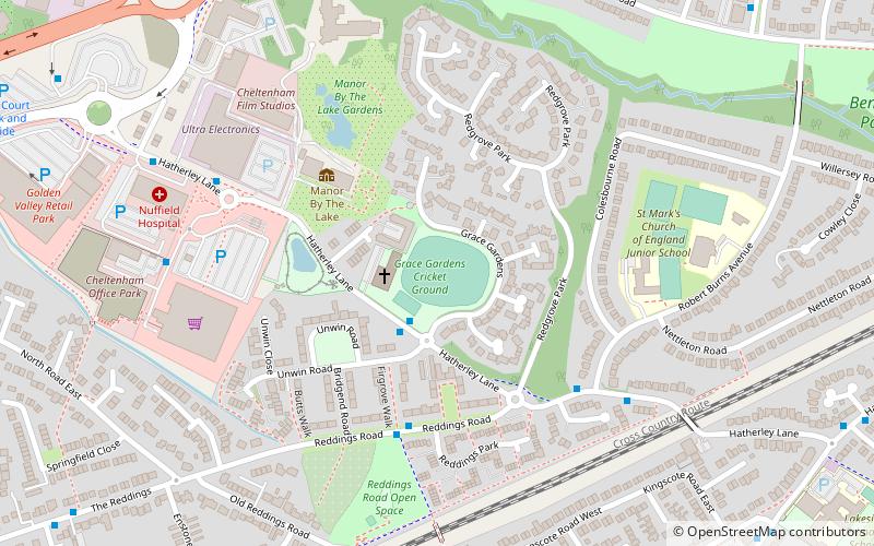
Map
Map
Facts and practical information
Up Hatherley is a civil parish and a suburb of the spa town of Cheltenham, Gloucestershire, England. Formerly a hamlet in the parish of Shurdington, it became a parish in 1887 and became a part of Cheltenham in 1991. ()
Address
Cheltenham
ContactAdd
Social media
Add
Getting there by public transportation
Public transportation stops near this location
- Bus
- Train
 Bus
Bus
- Calculate routeRobert Burns Ave 10 min walk
- Calculate routeHarrington Drive 19 min walk
- Calculate routeCheltenham Spa 33 min walk
Day trips


Frequently Asked Questions (FAQ)
Which popular attractions are close to Up Hatherley?
Nearby attractions include Benhall, Cheltenham (21 min walk), The Bacon Theatre, Cheltenham (23 min walk).
How to get to Up Hatherley by public transport?
The nearest stations to Up Hatherley:
Bus
Train
Bus
- Robert Burns Ave • Lines: 97, 98 (10 min walk)
- Harrington Drive • Lines: 97, 98 (19 min walk)
Train
- Cheltenham Spa (33 min walk)