Tixall Wide

Gallery (1)
Map
Map
Facts and practical information
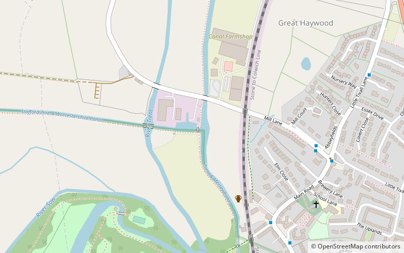
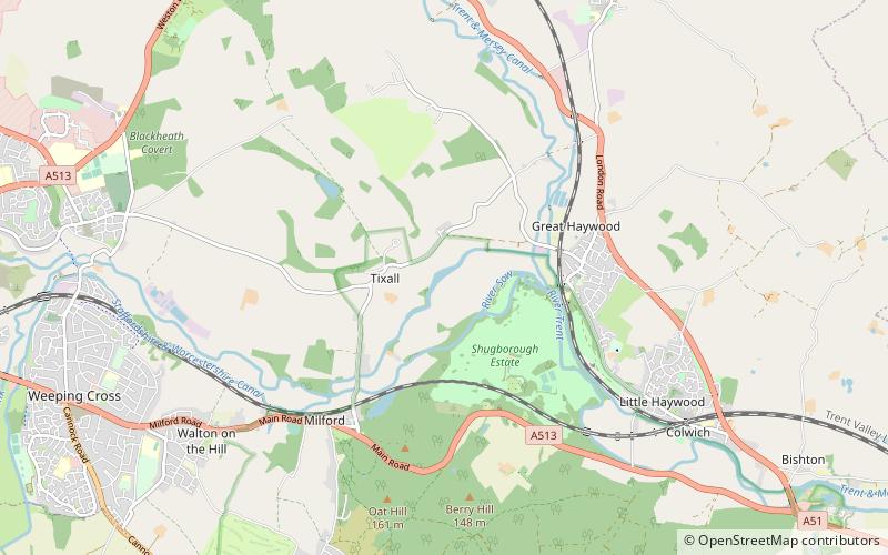
Tixall Wide, also known as Tixall Broad or The Broad Water, is a body of water that forms part of the Staffordshire and Worcestershire Canal near Tixall in Staffordshire, England, to the south of the former Tixall Hall. ()
Elevation: 246 ft a.s.l.Coordinates: 52°48'7"N, 2°1'30"W
Location
England
ContactAdd
Social media
Add
Day trips