Buscot Lock

Gallery (1)
Map
Map
Facts and practical information
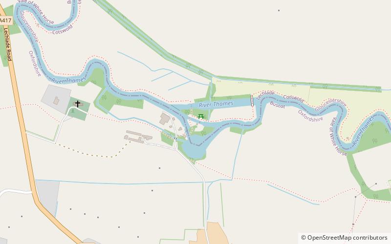
Buscot Lock is a lock on the River Thames in England, near the village of Buscot, Oxfordshire. ()
Elevation: 233 ft a.s.l.Coordinates: 51°40'52"N, 1°40'7"W
Day trips
Buscot Lock is a lock on the River Thames in England, near the village of Buscot, Oxfordshire. ()
Where to next? Visit ![]() England region page or discover the top tourist attractions in United Kingdom.
England region page or discover the top tourist attractions in United Kingdom.


