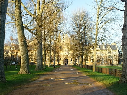
Grandpont, Oxford
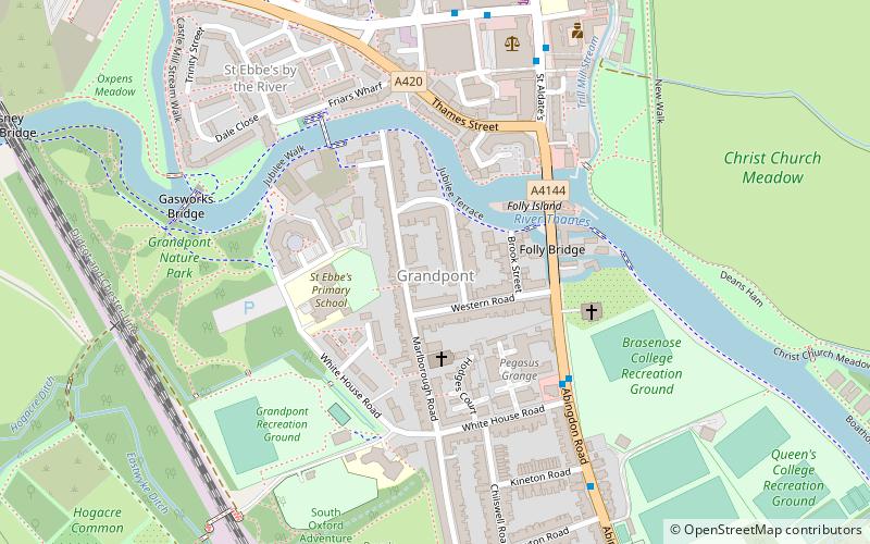
Map
Facts and practical information
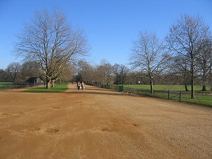
Grandpont is a mainly residential area in south Oxford. It is west of Abingdon Road, and consists mainly of narrow streets that run at right angles to the main road, with terraced late-Victorian and Edwardian houses. ()
Elevation: 194 ft a.s.l.Coordinates: 51°44'43"N, 1°15'31"W
Day trips
Grandpont – popular in the area (distance from the attraction)
Nearby attractions include: Christ Church Cathedral, Broad Walk, Tom Quad, Bate Collection of Musical Instruments.
Frequently Asked Questions (FAQ)
Which popular attractions are close to Grandpont?
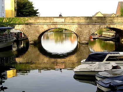
Nearby attractions include Folly Bridge, Oxford (3 min walk), Oxford River Cruises, Oxford (3 min walk), Grandpont Bridge, Oxford (5 min walk), Gasworks Bridge, Oxford (6 min walk).
How to get to Grandpont by public transport?
The nearest stations to Grandpont:
Bus
Train
Bus
- Whitehouse Road • Lines: S8, X3, X39, X40 (4 min walk)
- Police Station • Lines: X39, X40 (6 min walk)
Train
- Oxford (19 min walk)

