Pitsea Marsh, Basildon
Map

Map

Facts and practical information
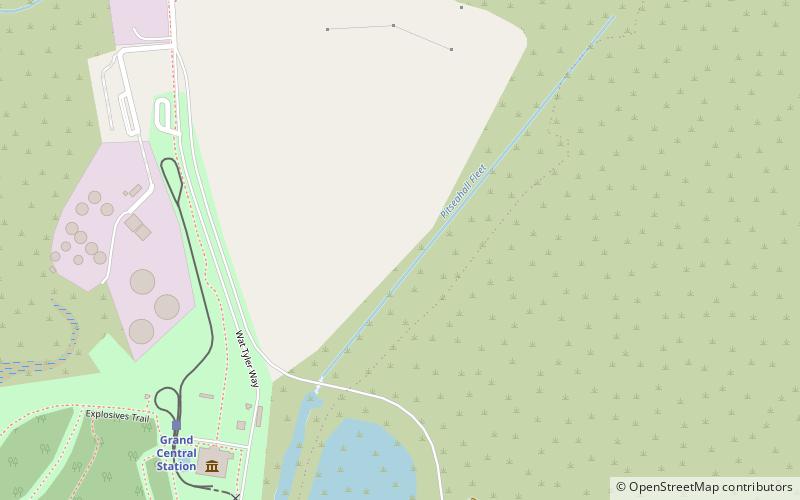
Pitsea Marsh is a 94.6 hectare Site of Special Scientific Interest in Pitsea in Essex. The southern half is the Wat Tyler Country Park, and the northern half is private land. ()
Coordinates: 51°33'14"N, 0°30'36"E
Address
Pitsea South EastBasildon
ContactAdd
Social media
Add
Day trips
Pitsea Marsh – popular in the area (distance from the attraction)
Nearby attractions include: Eastgate Shopping Centre, Northlands Park, St James the Less, Festival Leisure Park.
Frequently Asked Questions (FAQ)
How to get to Pitsea Marsh by public transport?
The nearest stations to Pitsea Marsh:
Train
Bus
Train
- Grand Central Station (7 min walk)
- Pitsea (12 min walk)
Bus
- Broadway • Lines: 1, 1A, 21, 22, 28, 5, 5A, 5B, 8A, Z4 (20 min walk)
- Tesco Store • Lines: 1, 1A, 5, 5A, 5B (20 min walk)


