Norfolk Coast Path
#2638 among destinations in the United Kingdom

Facts and practical information
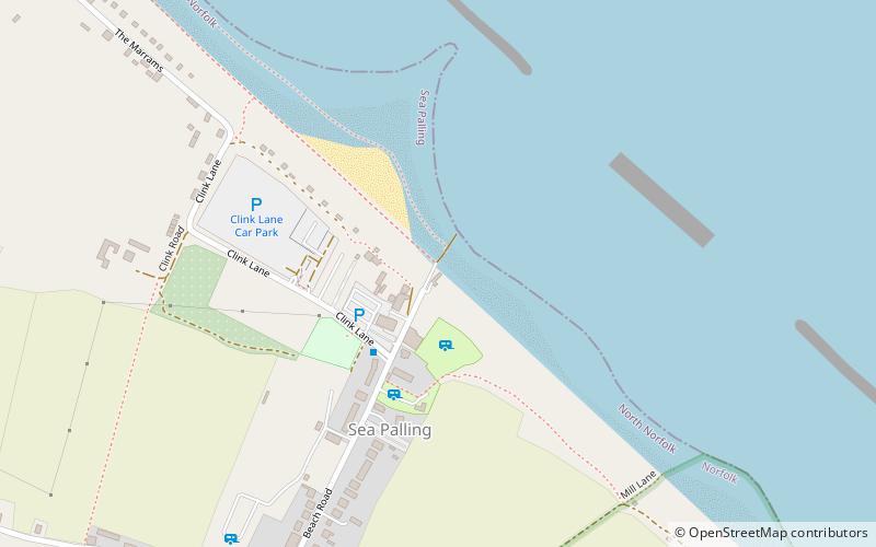
The Norfolk Coast Path is a long-distance footpath in Norfolk, running 83 miles from Hunstanton to Hopton-on-Sea. It was opened in 1986 and covers the North Norfolk Coast AONB. ()
EnglandUnited Kingdom
Norfolk Coast Path plan & book
Unleash the traveler in you — discover the cheapest flight deals, find the perfect hotel or hostel nearby, and search for the best car rental prices. Travel at your own pace to discover new places and enjoy your journey.
Norfolk Coast Path – popular in the area (distance from the attraction)
Nearby attractions include: The Museum of the Broads, Horsey Windpump, Weavers' Way, Saint Mary.
 Specialty museum, Museum
The Museum of the Broads, Norfolk Broads
100 min walk • The Museum of the Broads is an accredited museum and registered charity in Stalham, Norfolk, England. It describes its mission as being to "bring the story of the Broads alive". The Norfolk Broads are a network of mostly navigable rivers and lakes in the English counties of Norfolk and Suffolk.
 Windmill, Historical place
Horsey Windpump, Norfolk Broads
95 min walk • Horsey Windpump is a windpump or drainage windmill in the care of the National Trust in the village of Horsey, on The Broads near Great Yarmouth, Norfolk, England. The structure is a grade II* listed building.
 Hiking, Hiking trail
Weavers' Way, Stalham and Sutton
109 min walk • The Weavers' Way is a 61-mile long-distance footpath in Norfolk, England. Much of the Weavers’ Way footpath follows the old trackbed of the Aylsham to Great Yarmouth railway line operated by Midland and Great Northern Railway Company.
 Church
Saint Mary
106 min walk • St Mary's Church is a redundant Anglican church in the village of East Ruston, Norfolk, England. It is recorded in the National Heritage List for England as a designated Grade II* listed building, and is under the care of the Churches Conservation Trust.
 Sand dune
Horsey Dunes, Norfolk Coast AONB
81 min walk • Horsey Dunes is an extensive dune system on the east coast of Norfolk, England. It is owned by the National Trust and is within the Norfolk Coast AONB. It is sometimes known as Horsey Gap. To the south is the adjacent SSSI Winterton Dunes - it is possible to walk from one to the other.
 Park, Garden
East Ruston Old Vicarage Gardens
103 min walk • East Ruston Old Vicarage Gardens is a notable privately owned garden in the county of Norfolk at East Ruston in Eastern England. The gardens were established in 1973 by Alan Gray and Graham Robeson, who have created a 32-acre design which incorporates exuberant and innovative planting alongside a more traditional formal design.
 Church
The Ingham Swan
66 min walk • Holy Trinity Church in Ingham, Norfolk, England has been designated as a Grade I listed building by Historic England. The tower dates from the 15th century.
 Windmill
Hunsett Mill, Norfolk Broads
119 min walk • Hunsett Mill is located on the east bank of the River Ant one mile north of Barton Broad in the English county of Norfolk. The Windmill is 1.2 miles south west of the town of Stalham. The mill structure is a grade II listed building.
 Church
St Andrew's Church
45 min walk • St Andrew's Church, Hempstead is the Church of England parish church of Hempstead, near Stalham, Norfolk, England. Hempstead is in Lessingham civil parish about 7+1⁄2 miles east of North Walsham and 1⁄2 mile from the North Sea coast.
 Nature, Natural attraction, Lake
Horsey Mere, Norfolk Broads
89 min walk • Horsey Mere is one of the Norfolk Broads in the east of England; it is one of the more northerly broads close to the North Sea coast. It is reached by Hickling Broad and the River Thurne. The nearest settlements are Horsey and West Somerton. Horsey Mere is part of Upper Thurne Broads and Marshes, a Site of Special Scientific Interest.
 Lighthouse
Happisburgh Lighthouse
86 min walk • Happisburgh Lighthouse in Happisburgh on the North Norfolk coast is the only independently operated lighthouse in Great Britain. It is also the oldest working lighthouse in East Anglia.


