Fort Hommet, Saint Martin
Gallery (1)
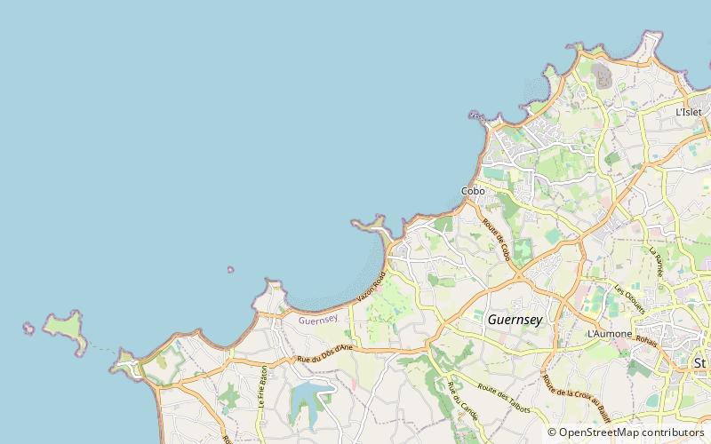
Map
Map
Facts and practical information
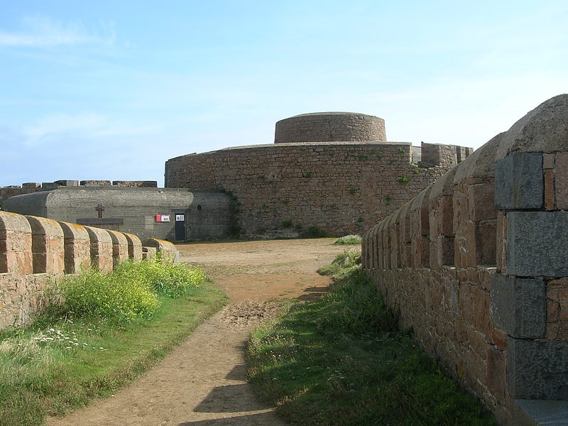
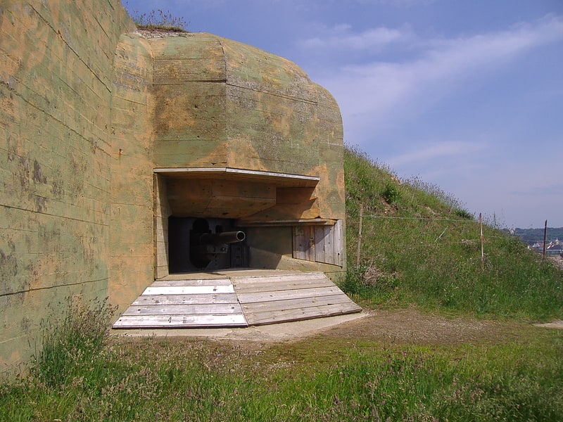
Fort Hommet is a fortification on Vazon Bay headland in Castel, Guernsey. It is built on the site of fortifications that date back to 1680, and consists of a Martello tower from 1804, later additions during the Victorian Era, and bunkers and casemates that the Germans constructed during World War II. ()
Coordinates: 49°28'28"N, 2°36'43"W
Address
Saint Martin
ContactAdd
Social media
Add
Getting there by public transportation
Public transportation stops near this location
- Bus
 Bus
Bus
- Calculate routeGrandes Rocques 36 min walk
Day trips


Frequently Asked Questions (FAQ)
How to get to Fort Hommet by public transport?
The nearest stations to Fort Hommet:
Bus
Bus
- Grandes Rocques • Lines: 41 (36 min walk)