Coulsdon Sixth Form College, London
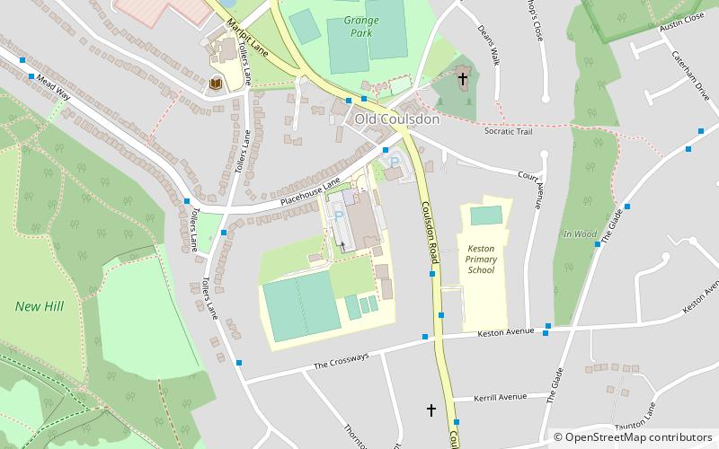
Map
Facts and practical information
Coulsdon Sixth Form College is a Sixth Form College for 16 to 19 year-olds based in Old Coulsdon, London and is built on the site of Purley High School for Boys. It has been graded 'Good' by Ofsted twice, most recently in April 2018. ()
Coordinates: 51°18'20"N, 0°7'14"W
Getting there by public transportation
Public transportation stops near this location
- Bus
- Train
 Bus
Bus
- Calculate routeThe Crossways 3 min walk
- Calculate routeTollers Lane / Placehouse Lane 4 min walk
- Calculate routeMead Way / Tollers Lane 5 min walk
- Calculate routeCoulsdon South 27 min walk
- Calculate routeCoulsdon Town 33 min walk
Maps Tube
Tube
TubeDay trips


Frequently Asked Questions (FAQ)
Which popular attractions are close to Coulsdon Sixth Form College?
Nearby attractions include Happy Valley Park, London (19 min walk), Farthing Downs, London (20 min walk).
How to get to Coulsdon Sixth Form College by public transport?
The nearest stations to Coulsdon Sixth Form College:
Bus
Train
Bus
- The Crossways • Lines: 404, 466, 60, N68 (3 min walk)
- Tollers Lane / Placehouse Lane • Lines: 60, N68 (4 min walk)
Train
- Coulsdon South (27 min walk)
- Coulsdon Town (33 min walk)